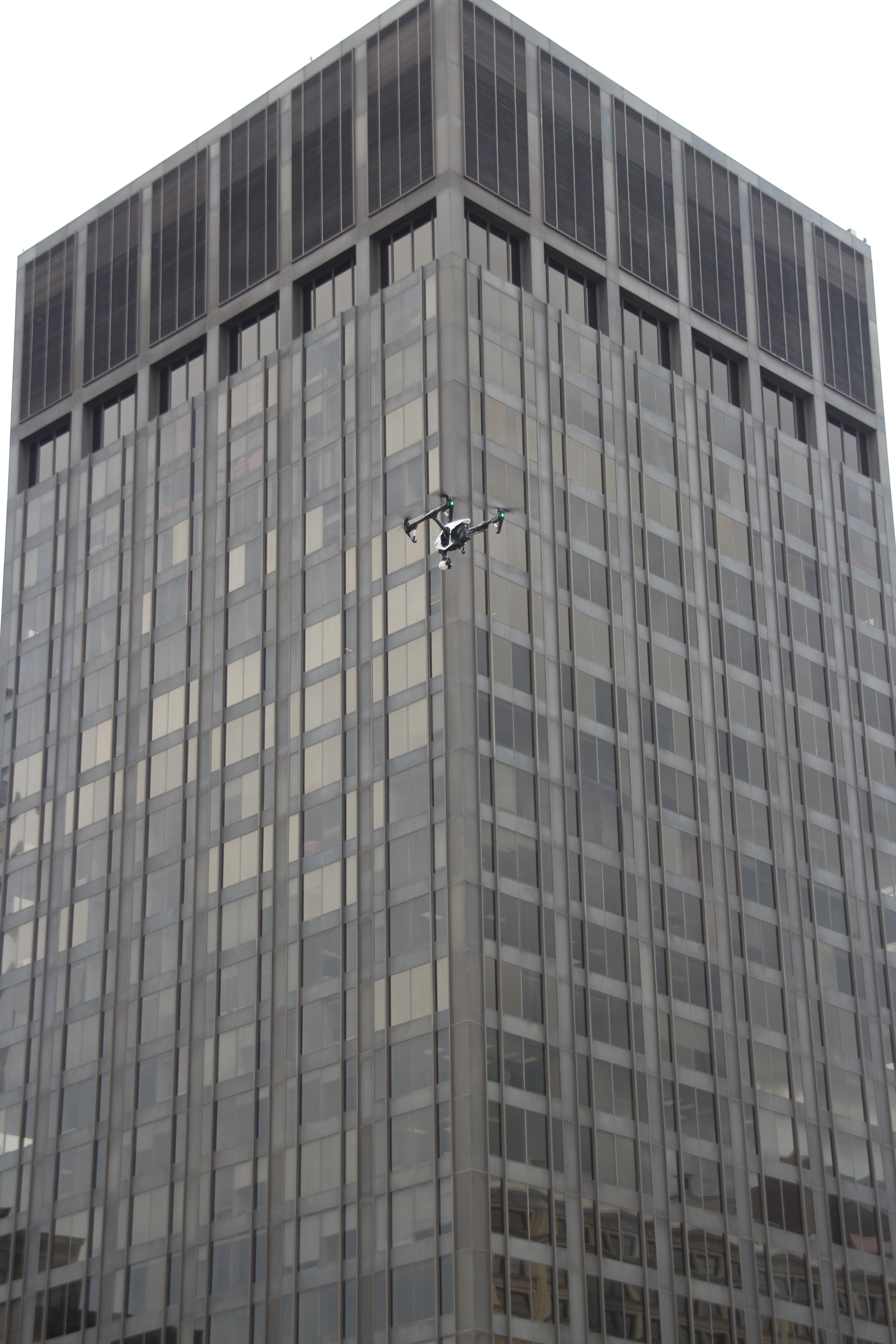
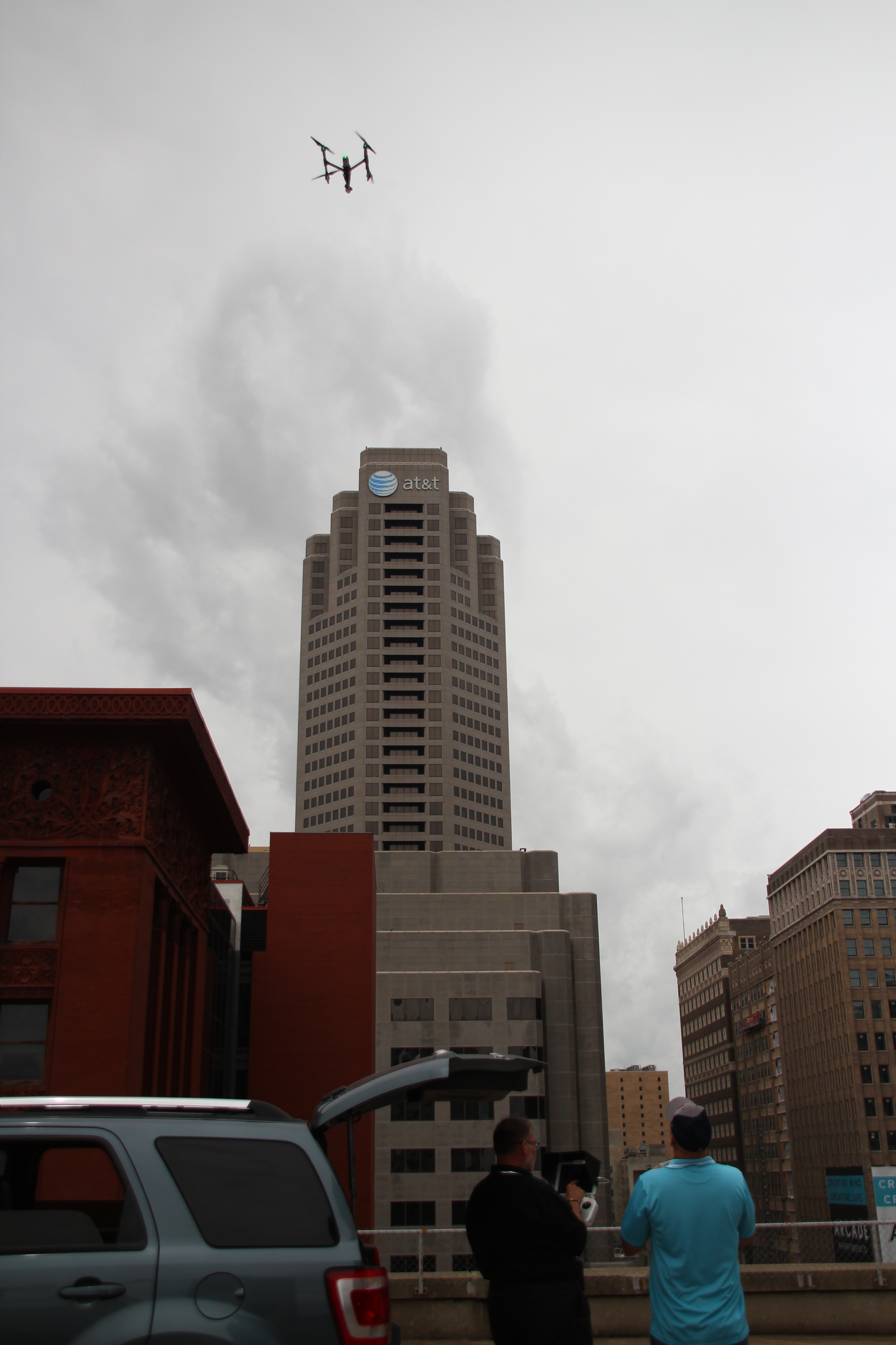
For businesses and organizations that need more than attractive aerial imagery, LiDAR drone services offer a major step forward in how sites, structures, terrain, and assets are documented. While traditional photography and standard drone video are excellent for marketing, inspections, and visual communication, there are projects where decision-makers need measurable spatial data, not just visuals. That is where LiDAR becomes especially valuable.
St Louis LiDAR drone services help companies capture highly detailed three-dimensional information about a property, construction site, industrial facility, development parcel, or infrastructure corridor with speed and efficiency. For architects, engineers, contractors, developers, facility managers, municipalities, utilities, and organizations managing large campuses or complex sites, LiDAR can provide a clearer picture of existing conditions and help reduce uncertainty before expensive decisions are made.
At St Louis Video, we work with organizations that need both visual excellence and practical data acquisition. LiDAR services fit squarely into that intersection. When deployed correctly, LiDAR drone mapping can improve planning, reduce rework, support safer operations, and give teams a stronger foundation for everything from design and permitting to construction progress and long-term asset management.
What LiDAR Means in a Drone Workflow
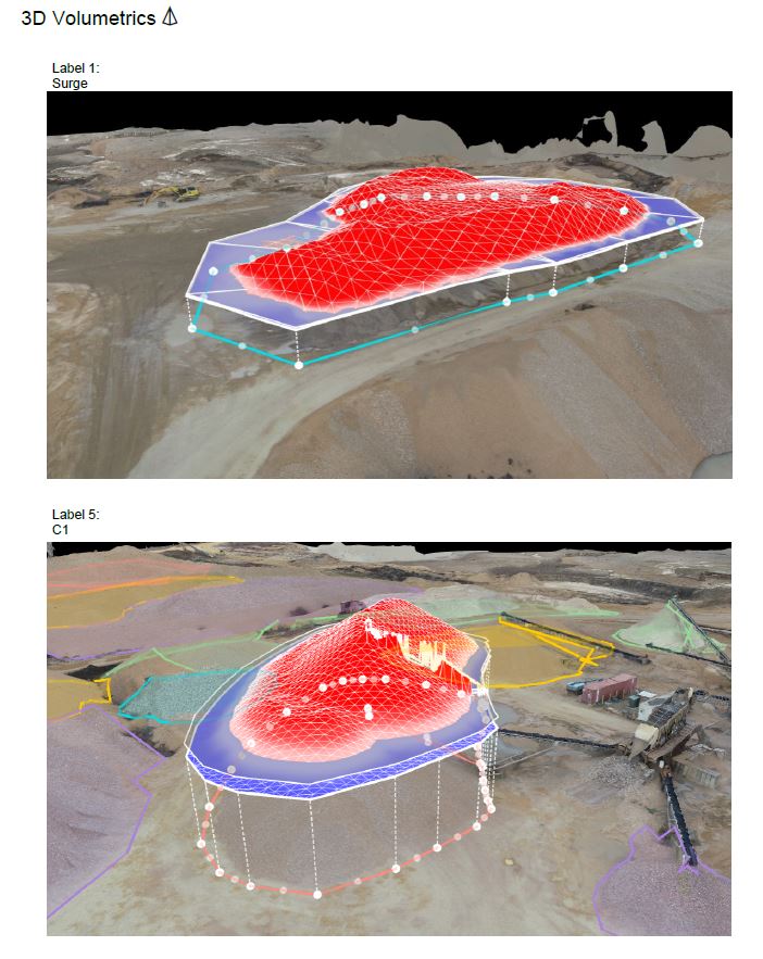
LiDAR stands for Light Detection and Ranging. In simple terms, a LiDAR sensor emits rapid pulses of laser light and measures how long it takes those pulses to return after hitting surfaces. That information is used to generate dense point clouds that represent the shape and elevation of the environment in three dimensions.
Unlike conventional aerial photography alone, LiDAR is designed to collect spatial information in a highly structured way. Instead of only creating pictures of a site, it builds measurable data that can be used to analyze topography, grade changes, stockpiles, drainage paths, surface conditions, vegetation, structures, and built environments.
This matters because many business decisions depend on more than visual appearance. A developer may need to understand site contours before planning improvements. A construction firm may need accurate terrain data for earthwork analysis. A facility manager may need a better understanding of roof geometry, site access, drainage behavior, or surrounding obstacles. A municipal team may need efficient documentation of public infrastructure and land conditions. LiDAR helps transform a drone from a camera platform into a data-collection tool.
Why Businesses Are Turning to LiDAR Drone Services
The biggest advantage of LiDAR drone services is that they help decision-makers work from current, detailed site information without relying solely on old surveys, incomplete drawings, or fragmented field observations.
For many projects, conditions change quickly. Construction sites evolve weekly. Industrial properties add equipment, barriers, and access constraints. Land development opportunities often require up-to-date understanding of terrain and features. Traditional field methods still have value, but drone-based LiDAR can dramatically improve speed of capture across large or hard-to-access areas.
That efficiency is not just about saving time. It is about reducing blind spots.
A marketing team may use drone video to show a development from above, but an operations or planning team may need to know the exact relationship between surfaces, elevations, slopes, and obstacles. LiDAR helps fill that gap. It supports better coordination between stakeholders because it gives teams a shared, data-based view of the project area rather than relying on assumptions or fragmented observations.
Common Business Applications for St Louis LiDAR Drone Services
LiDAR is especially useful when organizations need reliable 3D site data for planning, analysis, and documentation. In the St. Louis area, that can include a wide range of commercial, industrial, institutional, and municipal uses.
Site Planning and Land Development
Before design work begins, developers and project teams need to understand the physical reality of a site. LiDAR drone mapping can help identify contours, elevation changes, drainage patterns, access points, tree cover, grading challenges, and site constraints. This is useful for greenfield developments, redevelopment sites, industrial expansions, and campus planning.
Accurate site information early in the process can help reduce surprises later. It can also support more informed conversations among owners, architects, engineers, and contractors.
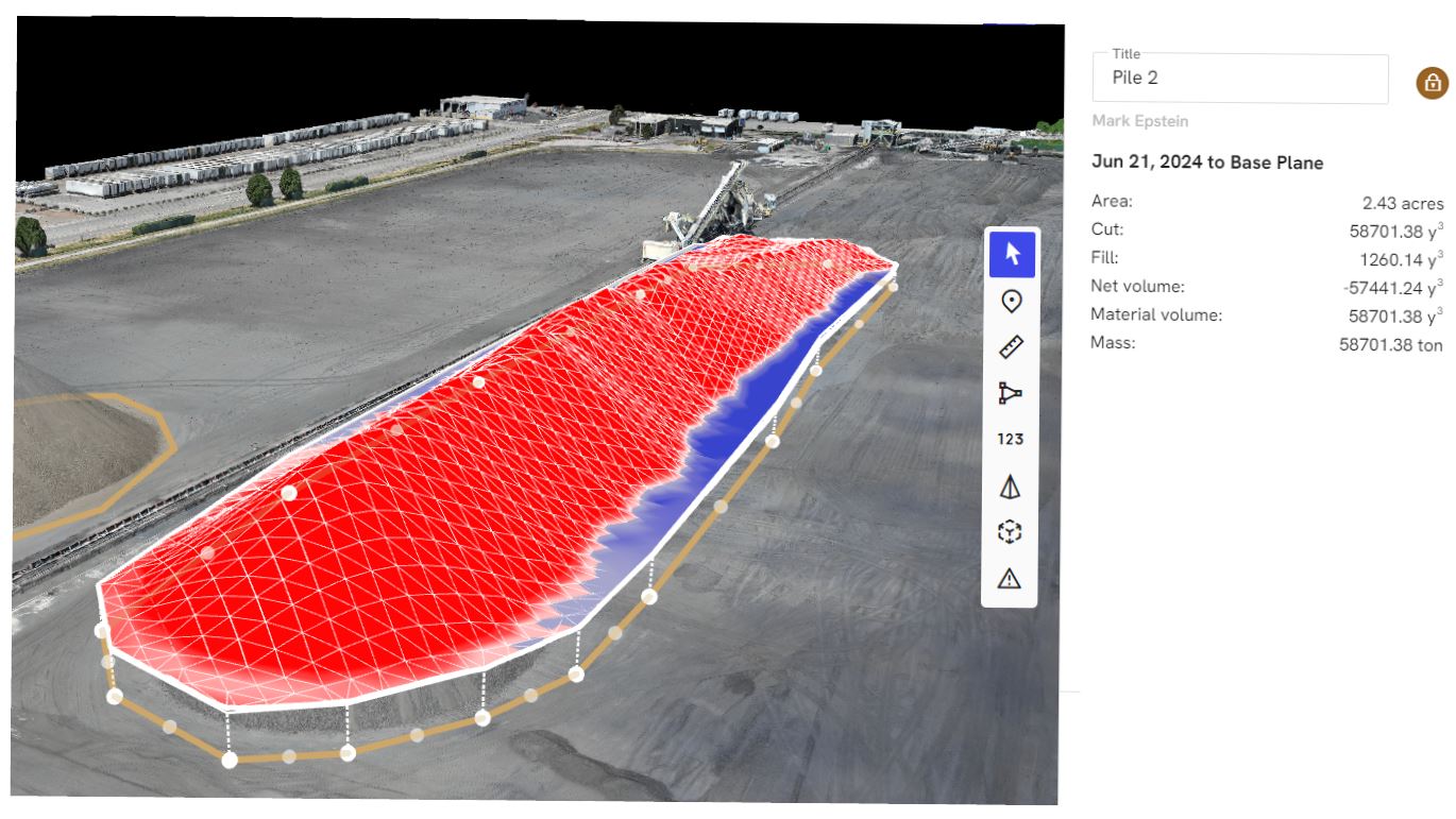
Construction Progress and Earthwork Visibility
Construction teams often need a better way to document changing site conditions. LiDAR can help track terrain changes, monitor grading progress, and document the relationship between built elements and surrounding site conditions.
For projects involving excavation, fill, embankments, or utility work, current spatial data can be valuable for coordination and reporting. It also gives owners and project managers a more objective record of site status at different stages of the job.
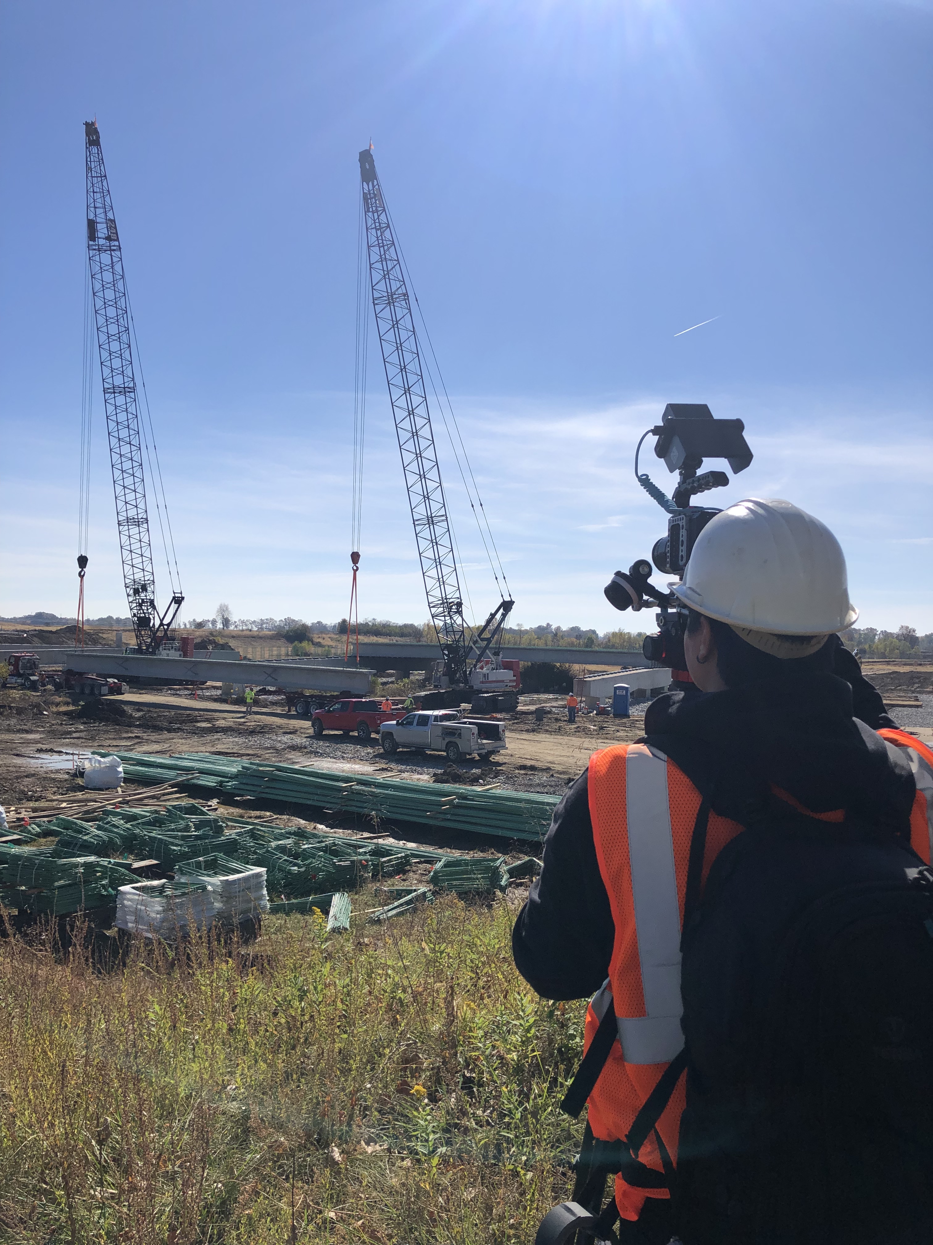
Infrastructure and Corridor Documentation
Roadways, utility corridors, drainage systems, rights-of-way, and public works environments can be difficult to capture thoroughly using ground-level methods alone. Drone-based LiDAR can provide a broader view of these environments while still delivering measurable detail.
This can support planning, maintenance reviews, documentation, and coordination among engineering, public agency, and contractor teams.
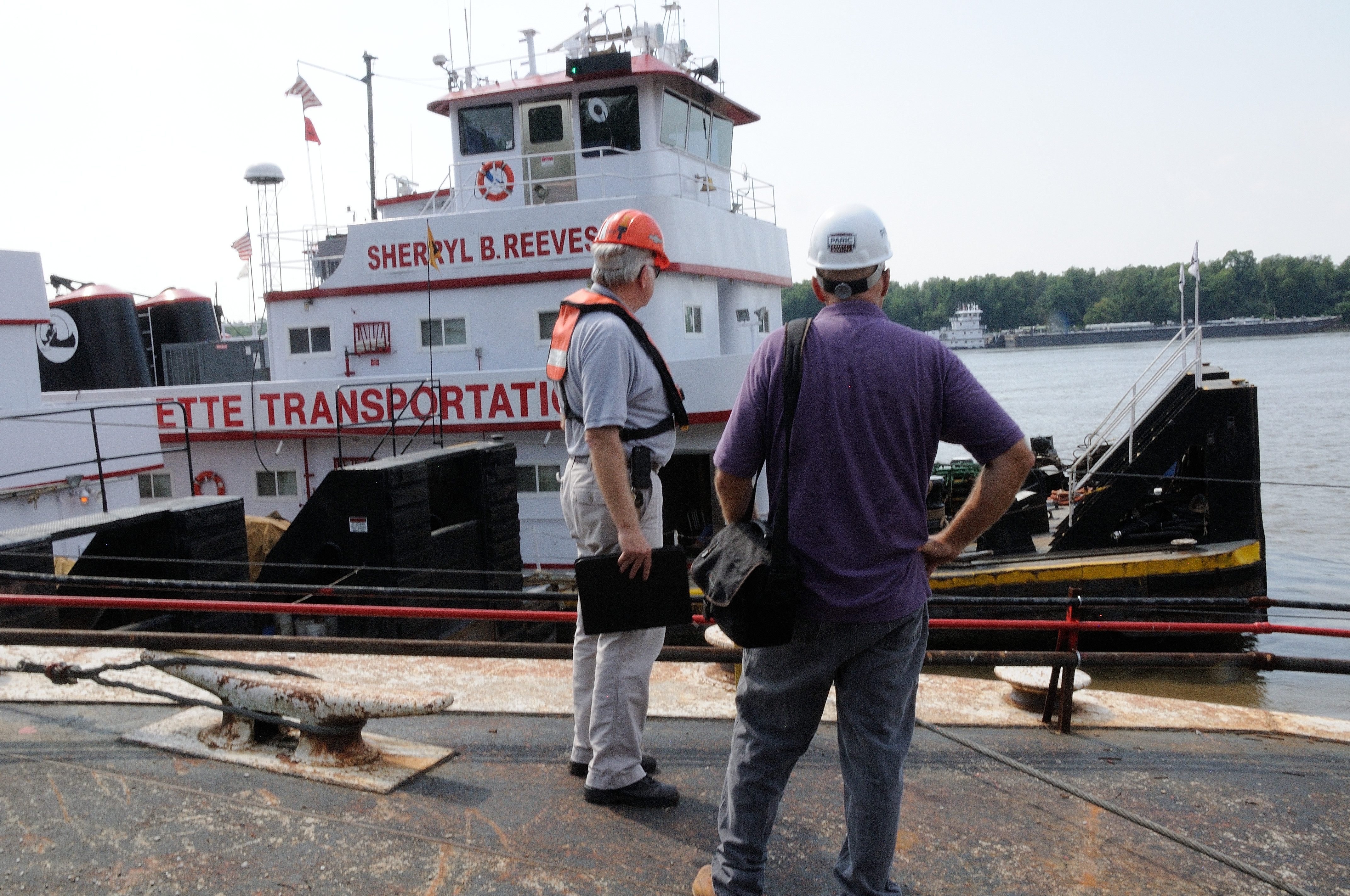
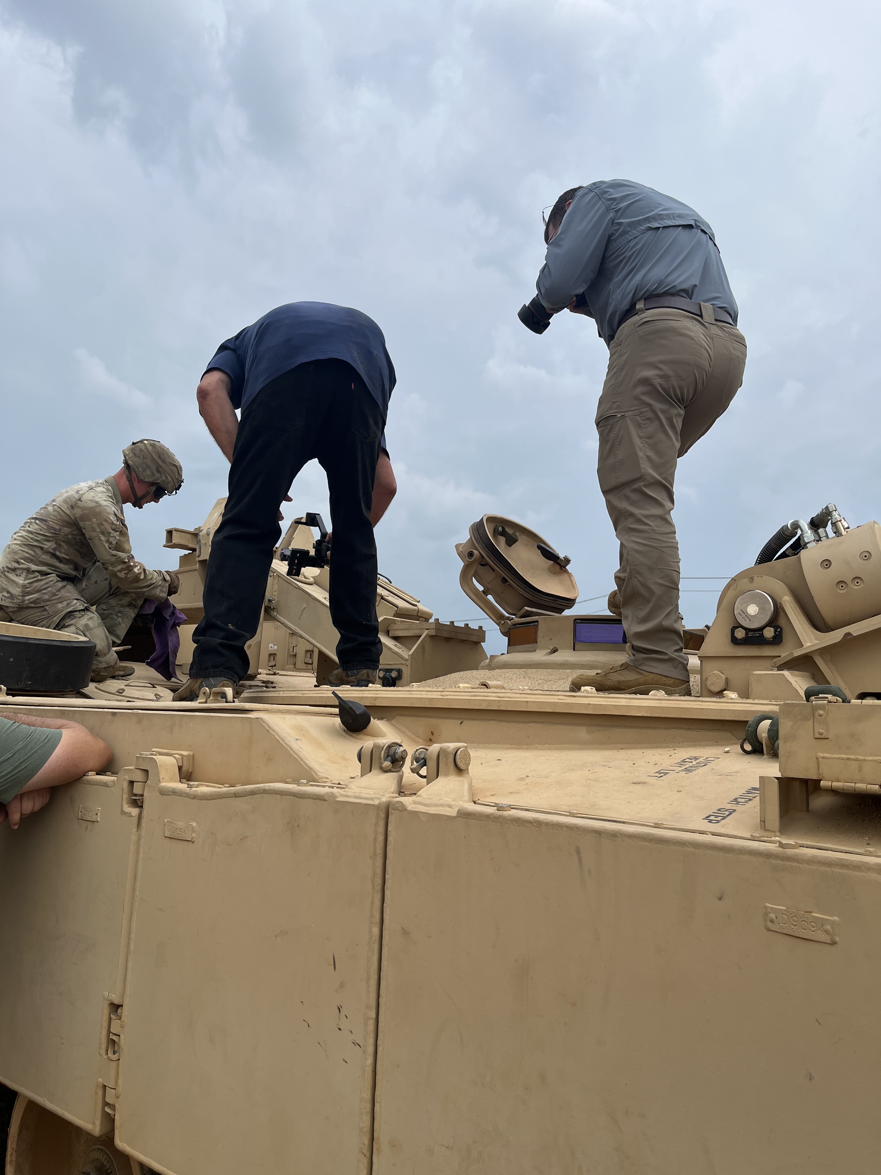
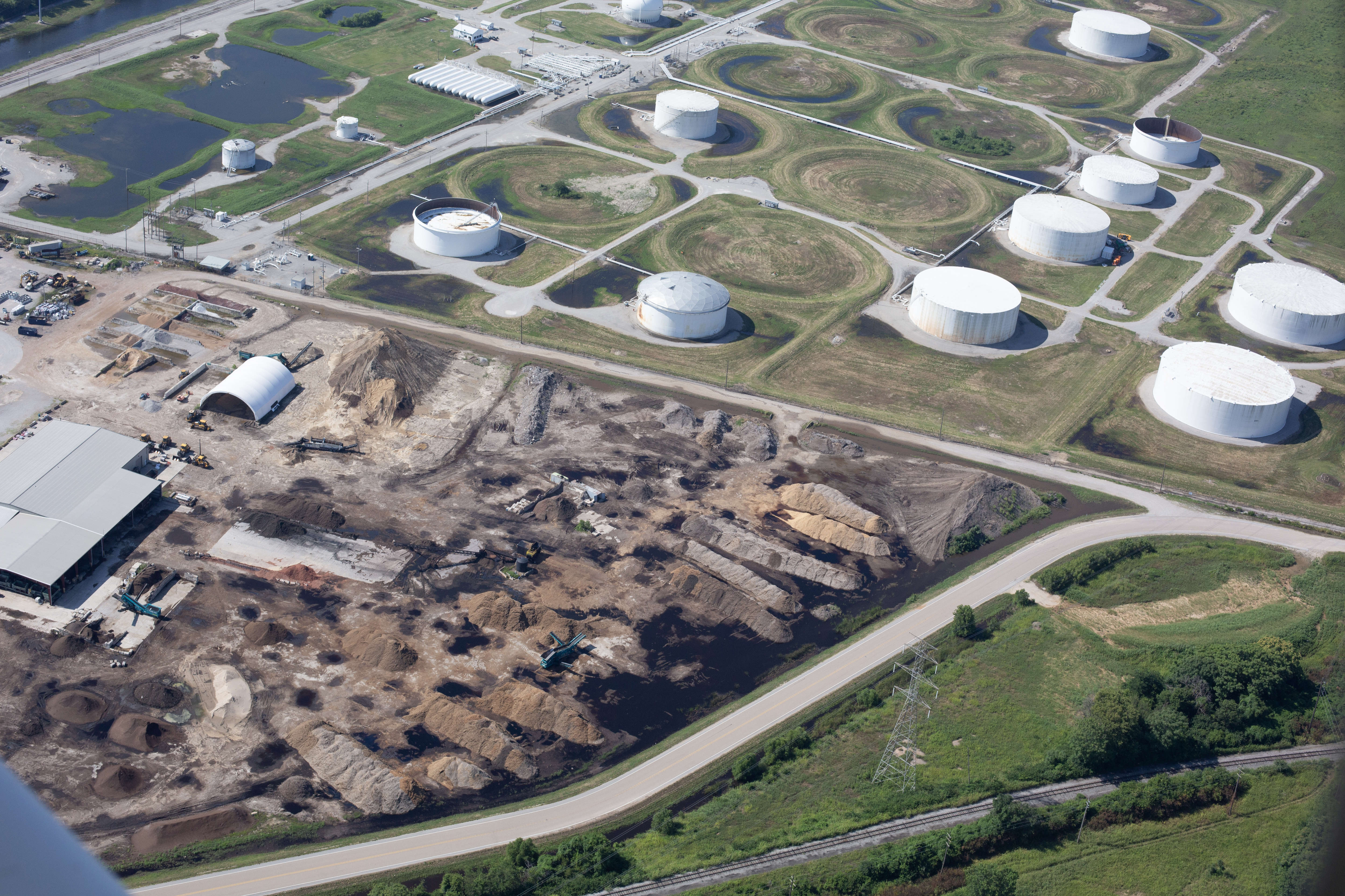
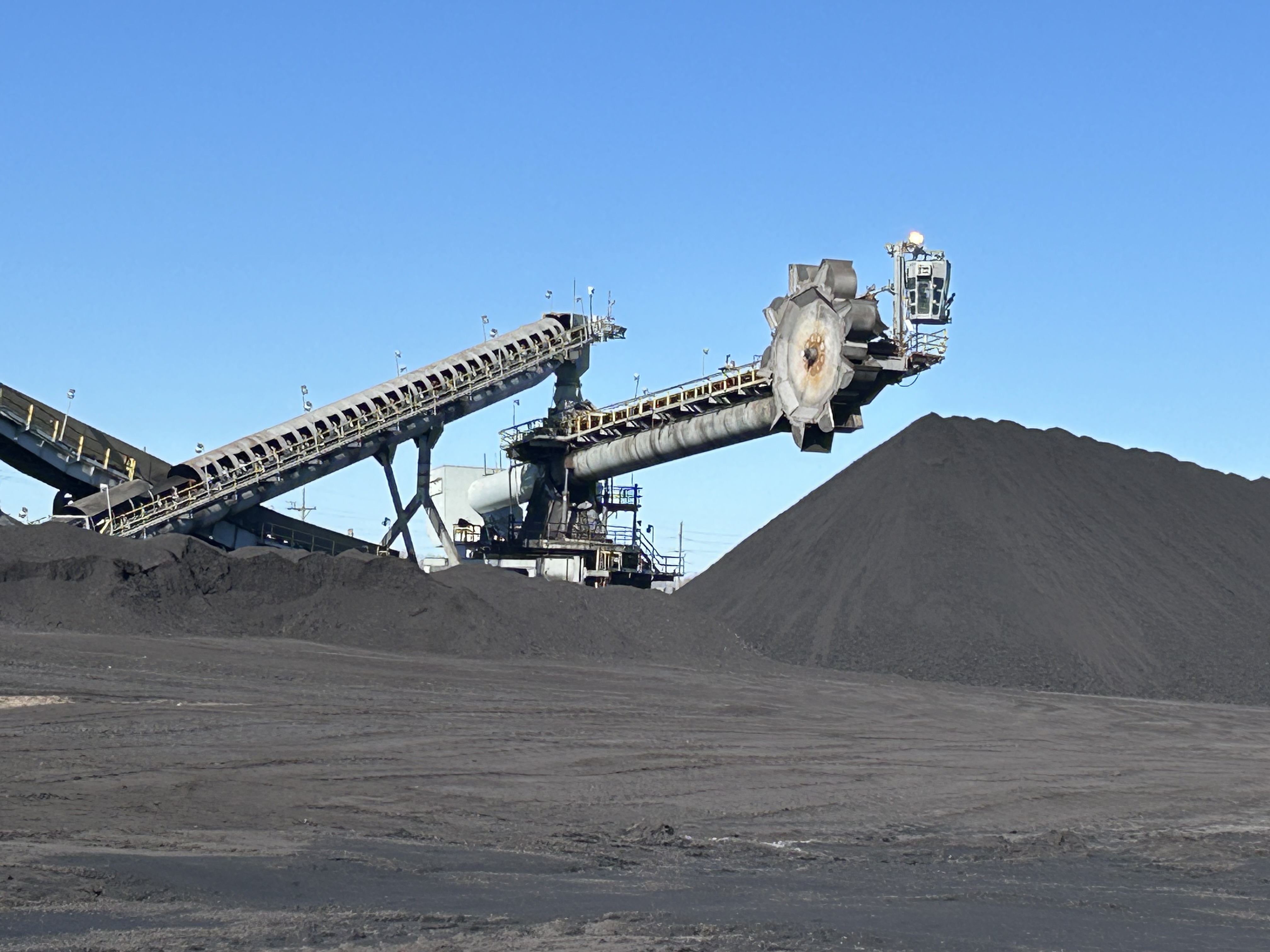
Industrial and Facility Environments
Industrial sites often present a mix of challenges: large footprints, active operations, restricted access zones, complex geometry, and safety concerns. LiDAR drone services can help document these environments more efficiently while reducing the need for prolonged on-foot access to certain areas.
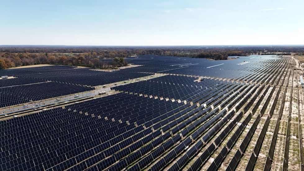
For organizations managing plants, warehouses, terminals, large rooftops, distribution centers, or energy facilities, LiDAR can support site understanding, capital planning, and infrastructure documentation. In some cases, specialized indoor drone operations can also help document spaces where conventional access is limited.
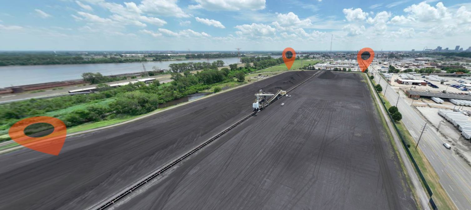
Vegetation, Terrain, and Surface Analysis
Where terrain and vegetation influence project planning, LiDAR can be a strong option. It is particularly useful where organizations need to understand land shape and surface conditions over a broader area. This may be relevant for utility planning, land management, site feasibility work, stormwater considerations, or preconstruction assessment.
How LiDAR Differs from Standard Drone Photography and Photogrammetry
Many organizations are familiar with aerial photography and orthomosaic mapping generated from overlapping images. That workflow remains very useful and cost-effective in many situations. But LiDAR is different in purpose and output.
Photography-based mapping is ideal when the goal is a high-resolution visual record. It is often excellent for marketing, presentations, basic site overviews, and many mapping applications. LiDAR becomes especially compelling when the project requires a stronger emphasis on geometry, elevation, and spatial measurement.
The right approach depends on the objective. Some projects benefit from one method. Others benefit from both.
That is an important distinction for decision-makers. The best production partner is not the one that simply flies a drone. It is the one that understands what type of capture best serves the project goal. In many cases, a client may need a mix of deliverables: cinematic drone video for marketing, still photography for presentations, and LiDAR data for technical or planning use. A well-rounded production team can help connect those needs instead of treating them as separate silos.
The Strategic Value of LiDAR for Decision-Makers
Executives, facilities leaders, marketers, operations teams, and project managers are all under pressure to make faster and better decisions. LiDAR supports that effort by helping teams work from current, visualized, measurable information.
That value can show up in several ways:
- Better pre-project understanding
- More confidence in planning conversations
- Stronger documentation of existing conditions
- Improved communication between technical and non-technical stakeholders
- Reduced reliance on guesswork
- Faster capture of large or complex areas
- A clearer foundation for progress reporting and future comparison
For organizations spending significant money on development, maintenance, site improvements, or capital projects, better information early can be worth far more than the cost of capture.
What to Look for in a LiDAR Drone Services Provider
Not every drone operator is equipped to support a professional LiDAR workflow. Capturing the data is only part of the job. Businesses should also look for a provider that understands project goals, airspace considerations, site logistics, safety, file handling, deliverables, and how LiDAR fits into a broader visual and production strategy.
A strong provider should be able to discuss:
- The purpose of the data capture
- The environment being documented
- Flight and access considerations
- The type of deliverables needed
- Coordination with marketing, engineering, operations, or project stakeholders
- How the LiDAR mission fits into the larger production or documentation effort
That last point matters more than many clients initially realize. A site may need technical data for internal use, but it may also need polished visuals for investor decks, public communications, recruitment, proposals, or brand storytelling. A team that understands both technical acquisition and visual production can create a more unified result.
Why LiDAR Works Well Alongside Professional Video and Photography
One of the biggest missed opportunities in business media is treating technical capture and brand storytelling as unrelated functions. In reality, many organizations benefit when those workflows are coordinated.
A construction company may need LiDAR data for planning and also need progress video for stakeholders. A property owner may need measurable site documentation and also want high-end imagery for leasing and marketing. A manufacturing firm may want drone-based documentation of assets while also capturing corporate media for recruitment or public relations.
When one experienced production partner can manage multiple aspects of that work, the result is typically more efficient, more consistent, and easier for the client to manage.
That is a major advantage of working with a team that understands not just drones, but full-service commercial production.
St Louis LiDAR Drone Services for a More Informed Project Workflow
LiDAR is not just a technical add-on. It is a practical business tool. It helps organizations see sites more clearly, communicate conditions more effectively, and make decisions with greater confidence. For companies navigating development, operations, facility planning, infrastructure documentation, or construction management, that added clarity can be a real competitive advantage.
At St Louis Video, we understand that decision-makers need more than attractive images. They need reliable visual communication, efficient production, and the right tools for the job. That is why LiDAR drone services can be such a valuable part of a broader media and documentation strategy.
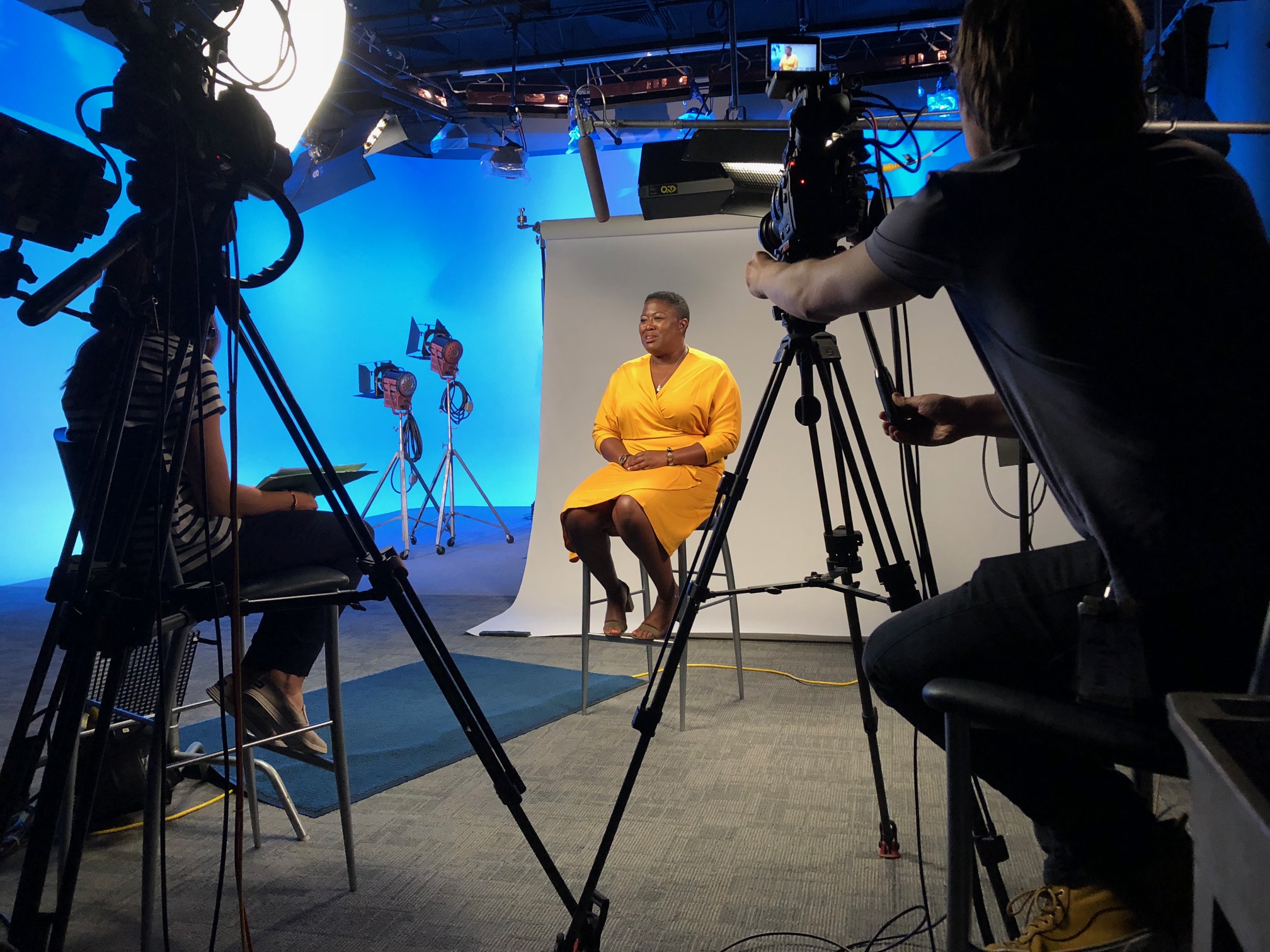
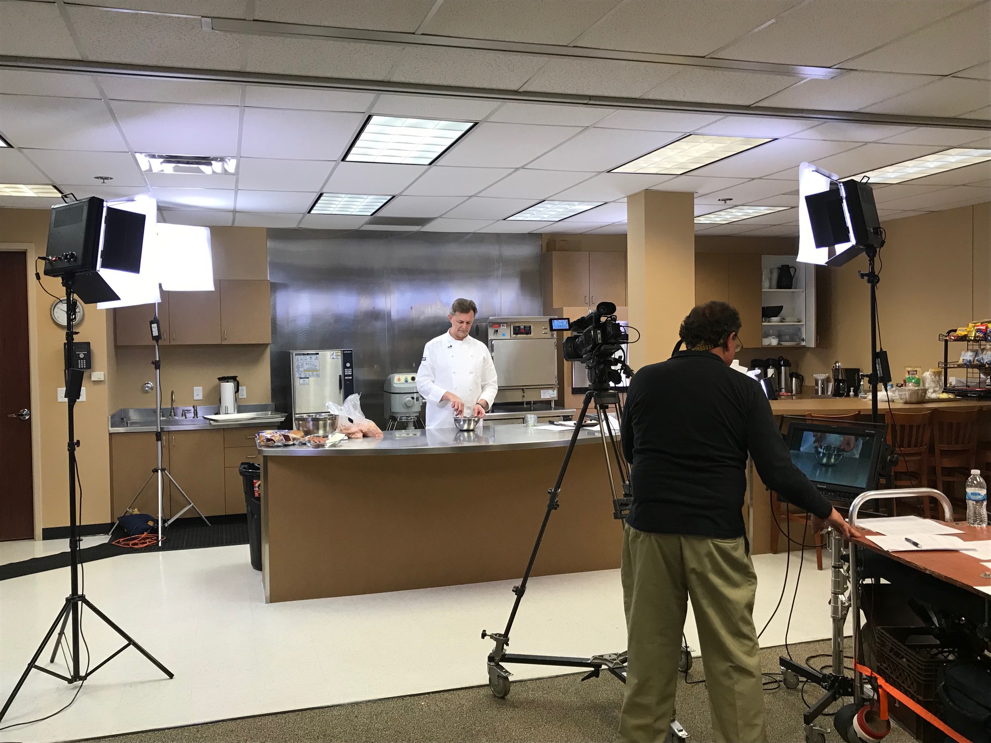
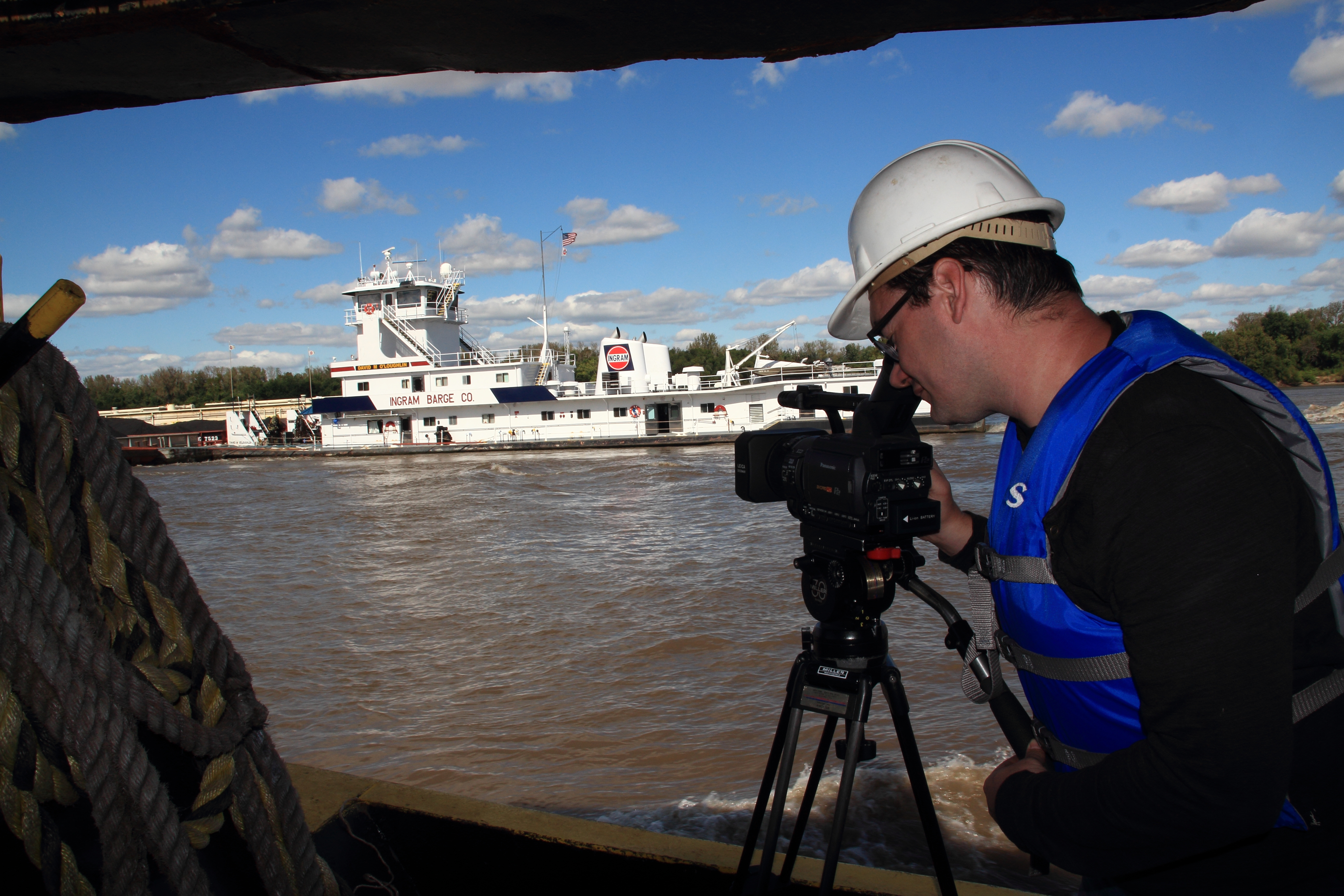
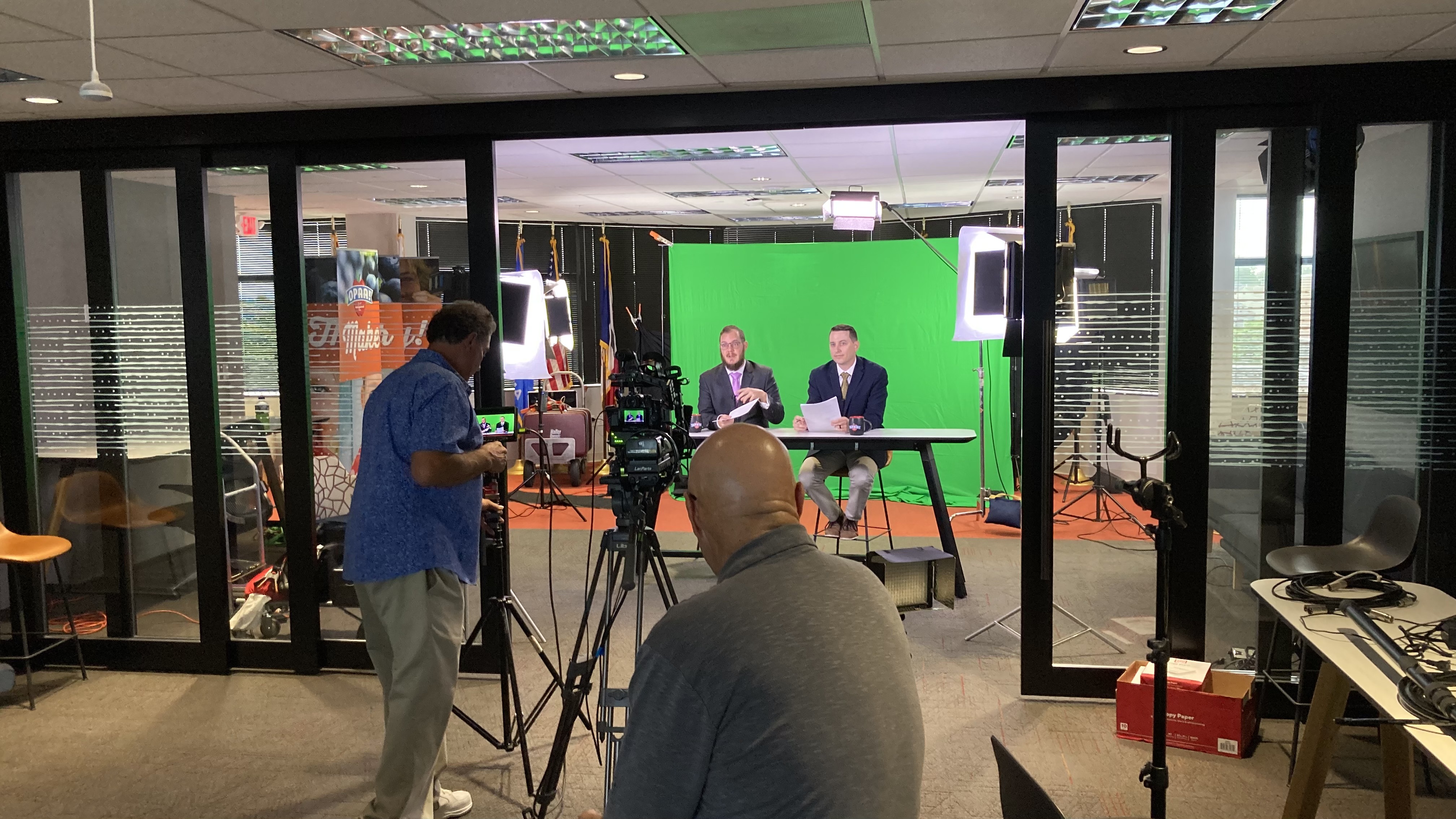
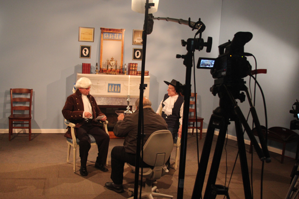
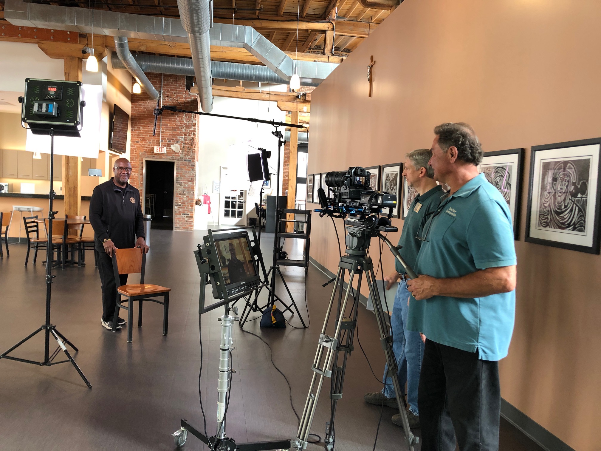
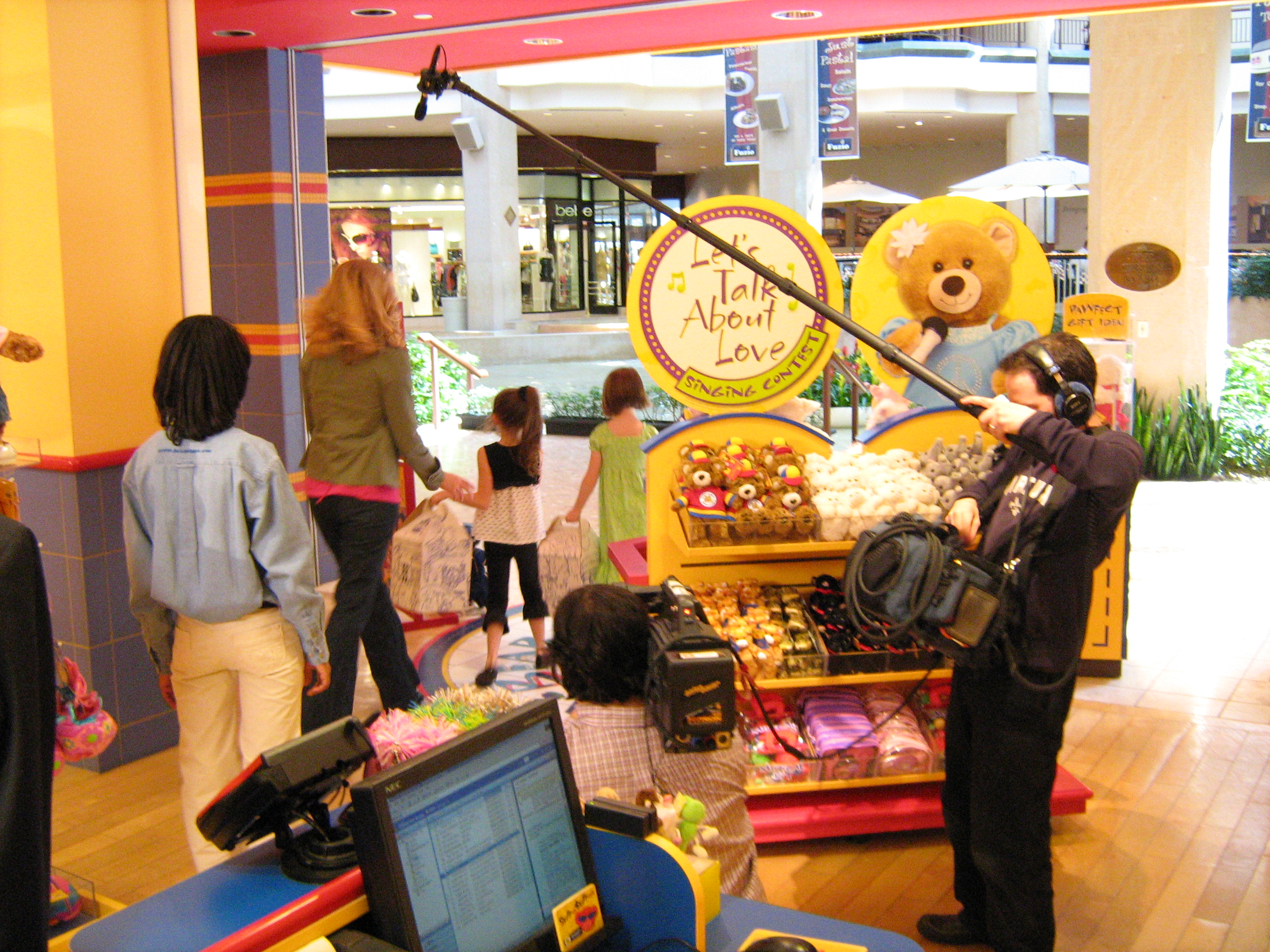
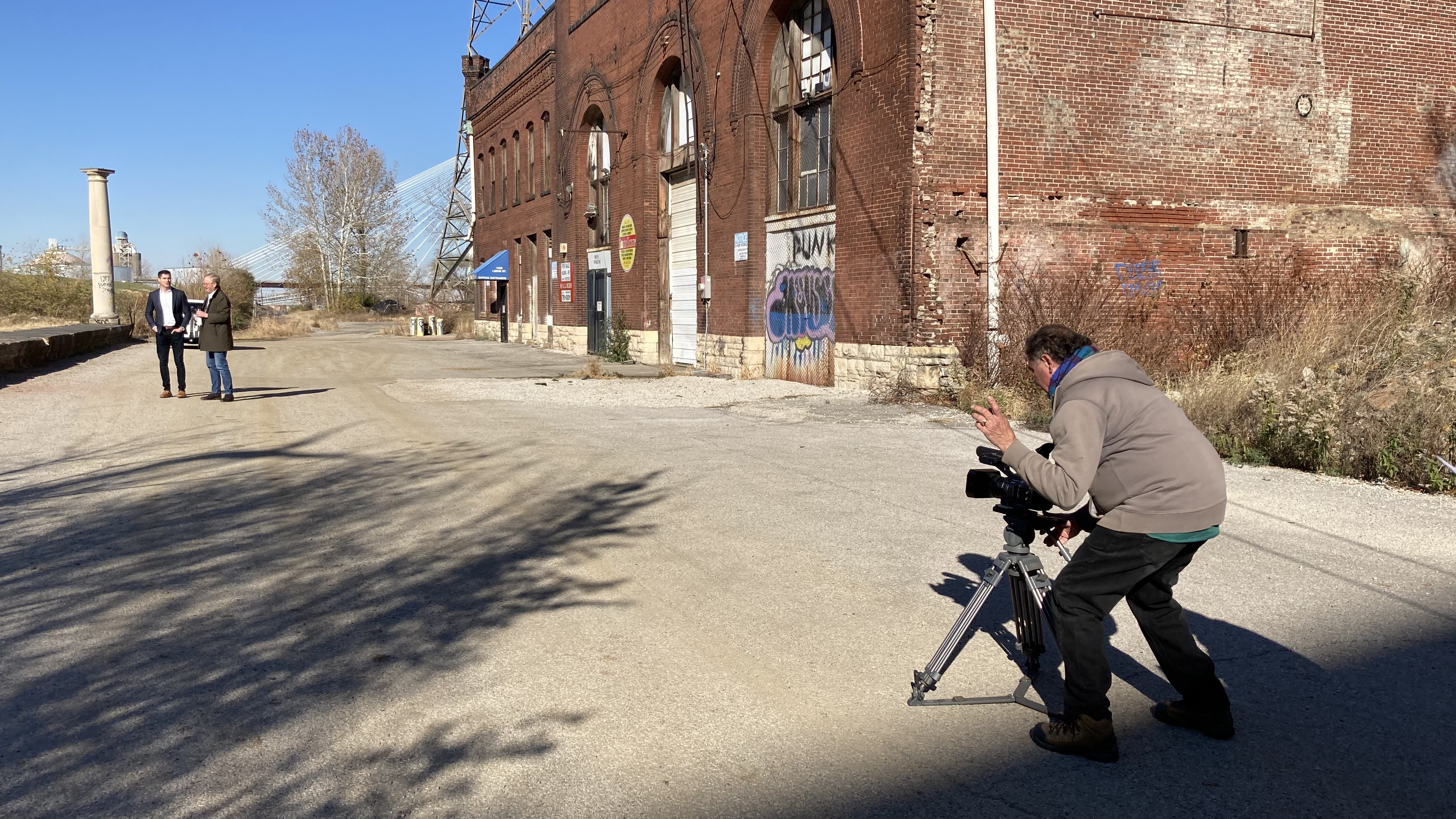
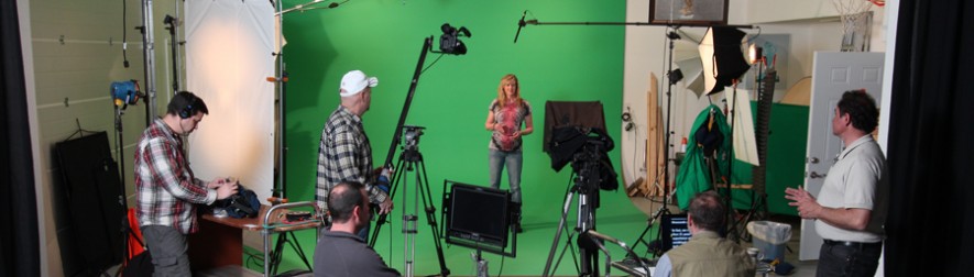
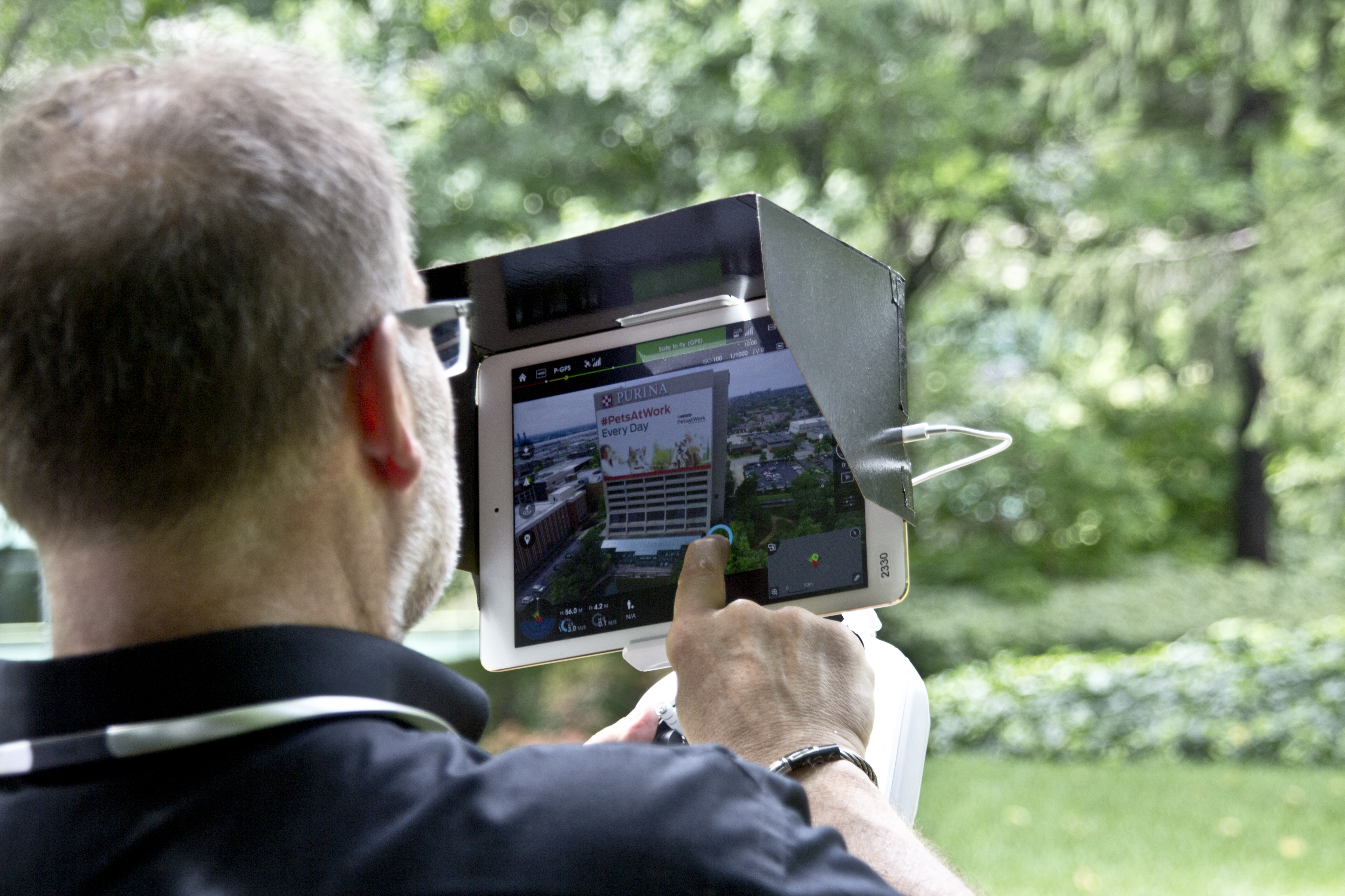
St Louis Video is a full-service professional commercial photography and video production company with the right equipment, creative crew, and service experience for successful image acquisition. We offer full-service studio and location video and photography, as well as editing, post-production, and licensed drone services. St Louis Video can customize your productions for diverse types of media requirements. Repurposing your photography and video branding to gain more traction is another specialty. We are well-versed in all file types, styles of media, and accompanying software. We use the latest in Artificial Intelligence for all our media services. Our private studio lighting and visual setup is perfect for small productions and interview scenes, and our studio is large enough to incorporate props to round out your set. We support every aspect of your production, from setting up a private, custom interview studio to supplying professional sound and camera operators, as well as providing the right equipment, ensuring your next video production is seamless and successful. We can fly our specialized drones indoors. As a full-service video and photography production corporation, since 1982, St Louis Video has worked with many businesses, marketing firms, and creative agencies in the St. Louis area for their marketing photography and video.