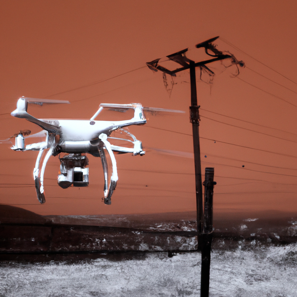
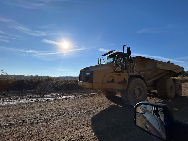
For many businesses, drones are still primarily associated with aerial video for commercials, promotional campaigns, and branded content. That visual role remains important. A well-planned drone shoot can add scale, motion, and polish to a production that immediately strengthens how a company presents itself. But modern drone work has developed far beyond attractive flyovers and cinematic exterior shots.
Today, some of the most valuable drone applications are tied to specialized services that help organizations inspect, document, map, and better understand their properties and operations. Other drone special services include infrared thermal imaging, orthomosaics, and LiDAR. These solutions are especially useful for businesses and organizations that need more than visual appeal. They need information they can use.
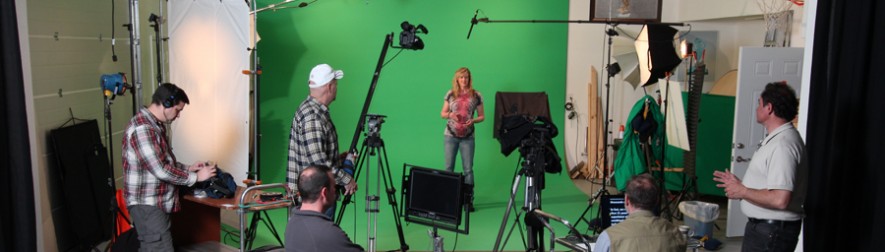
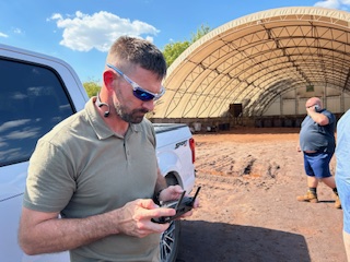
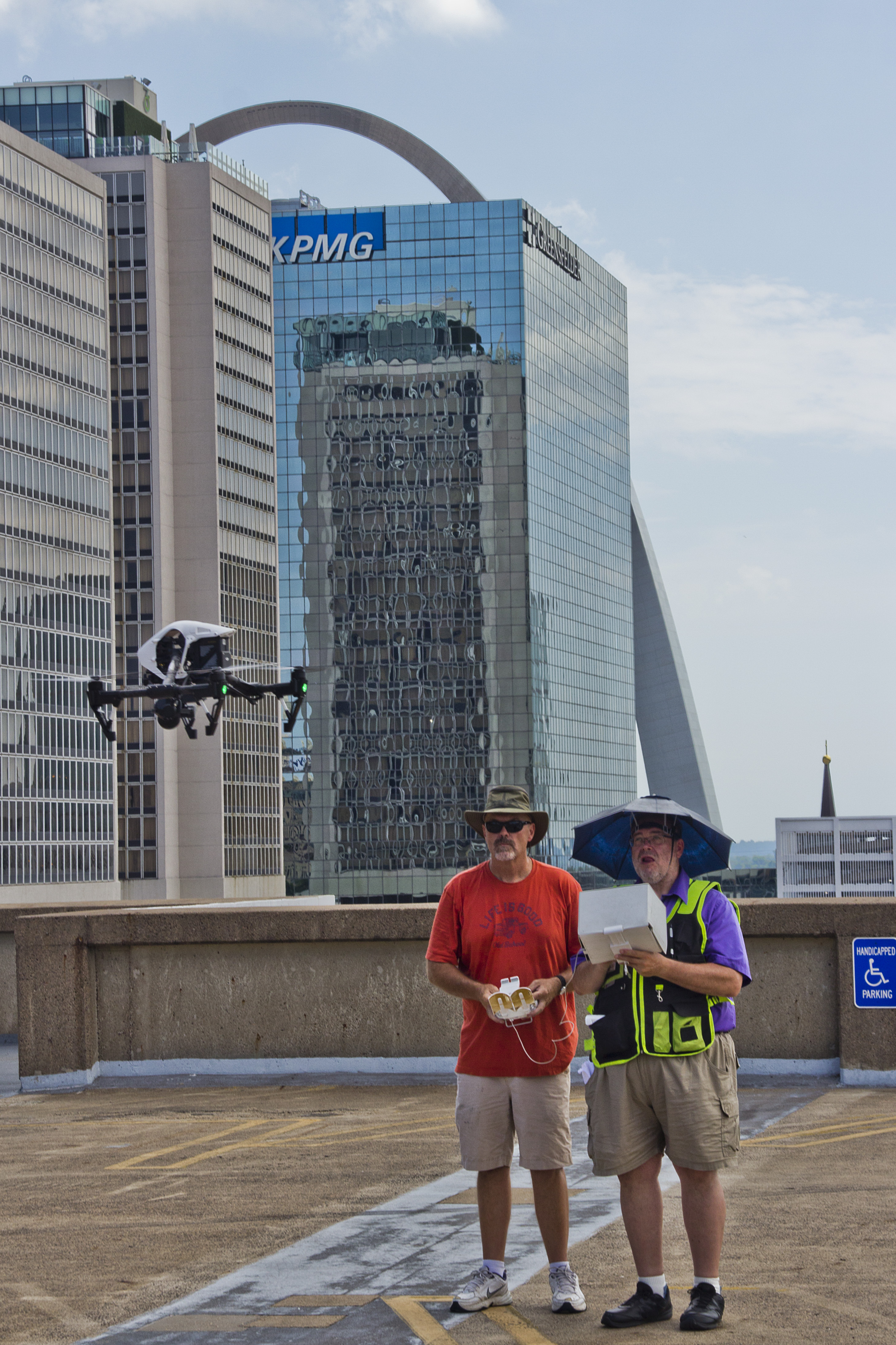
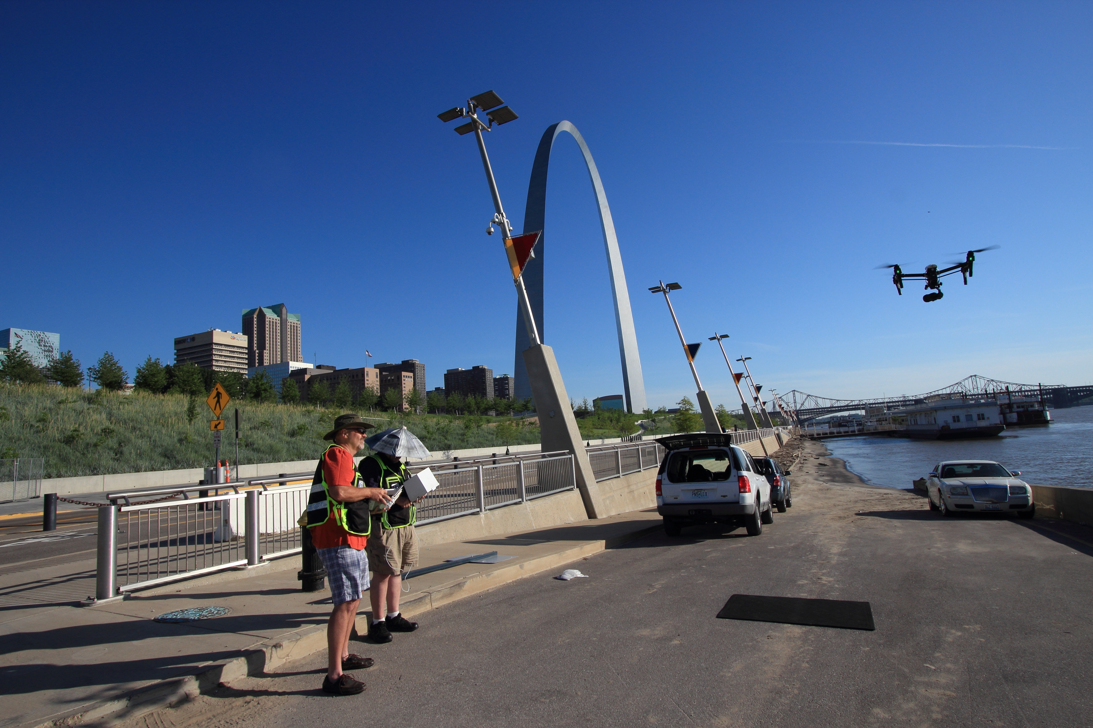
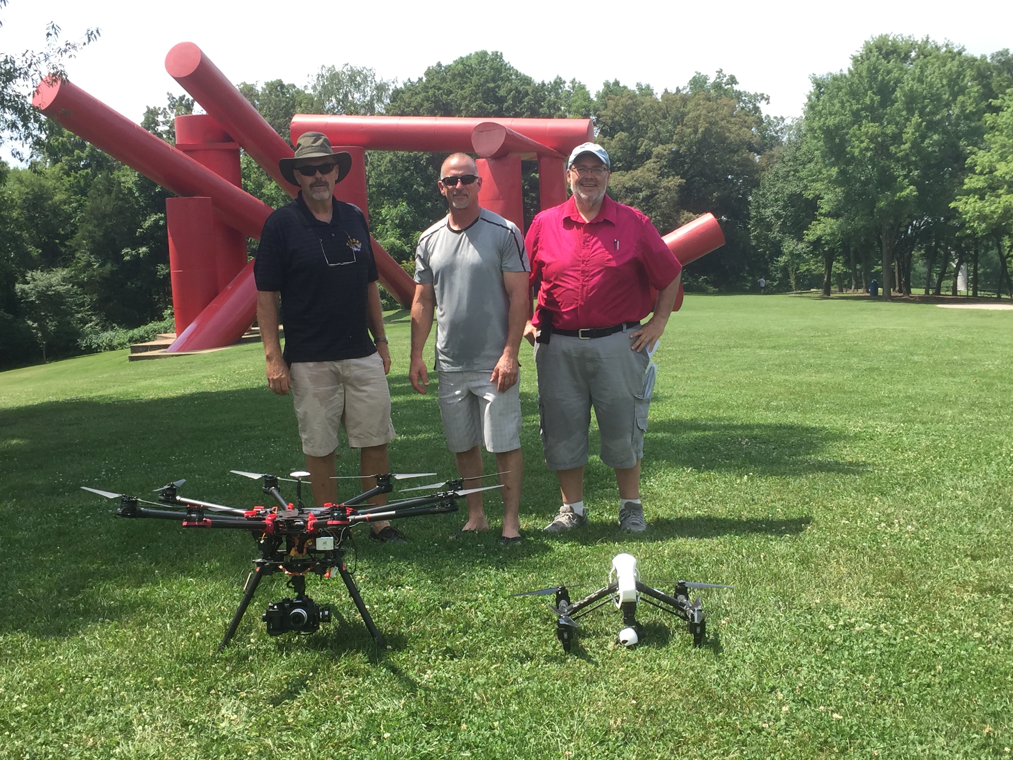
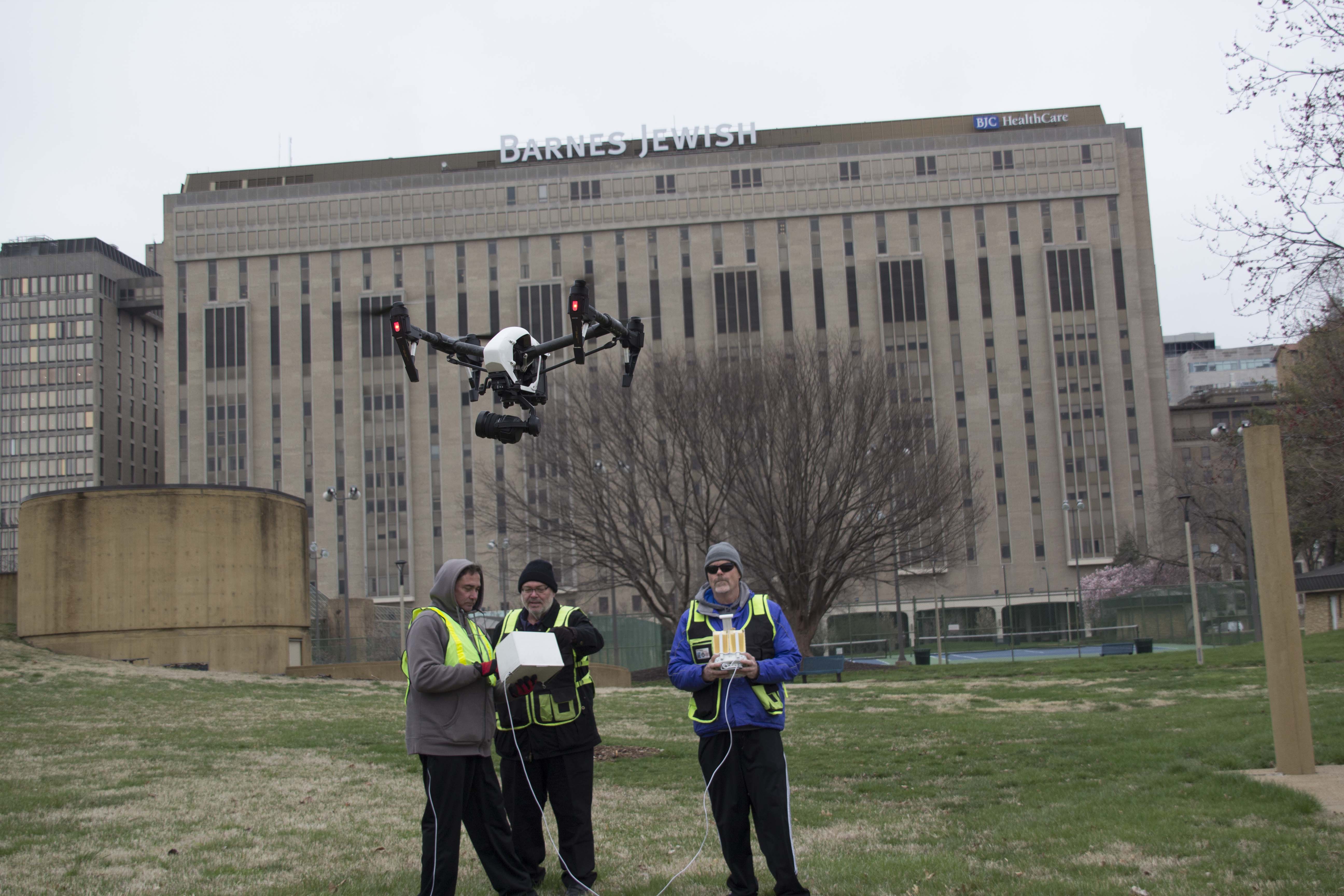
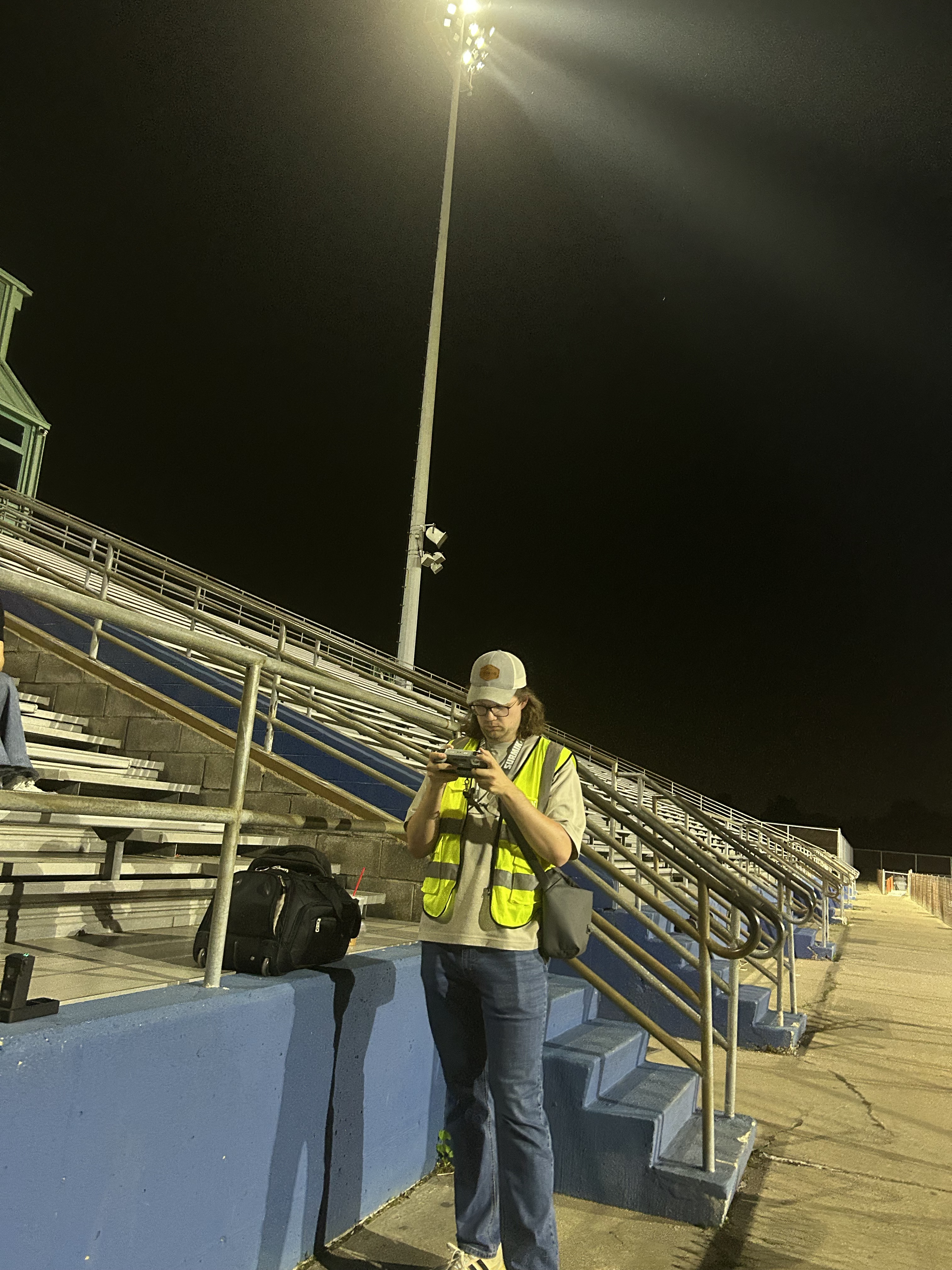
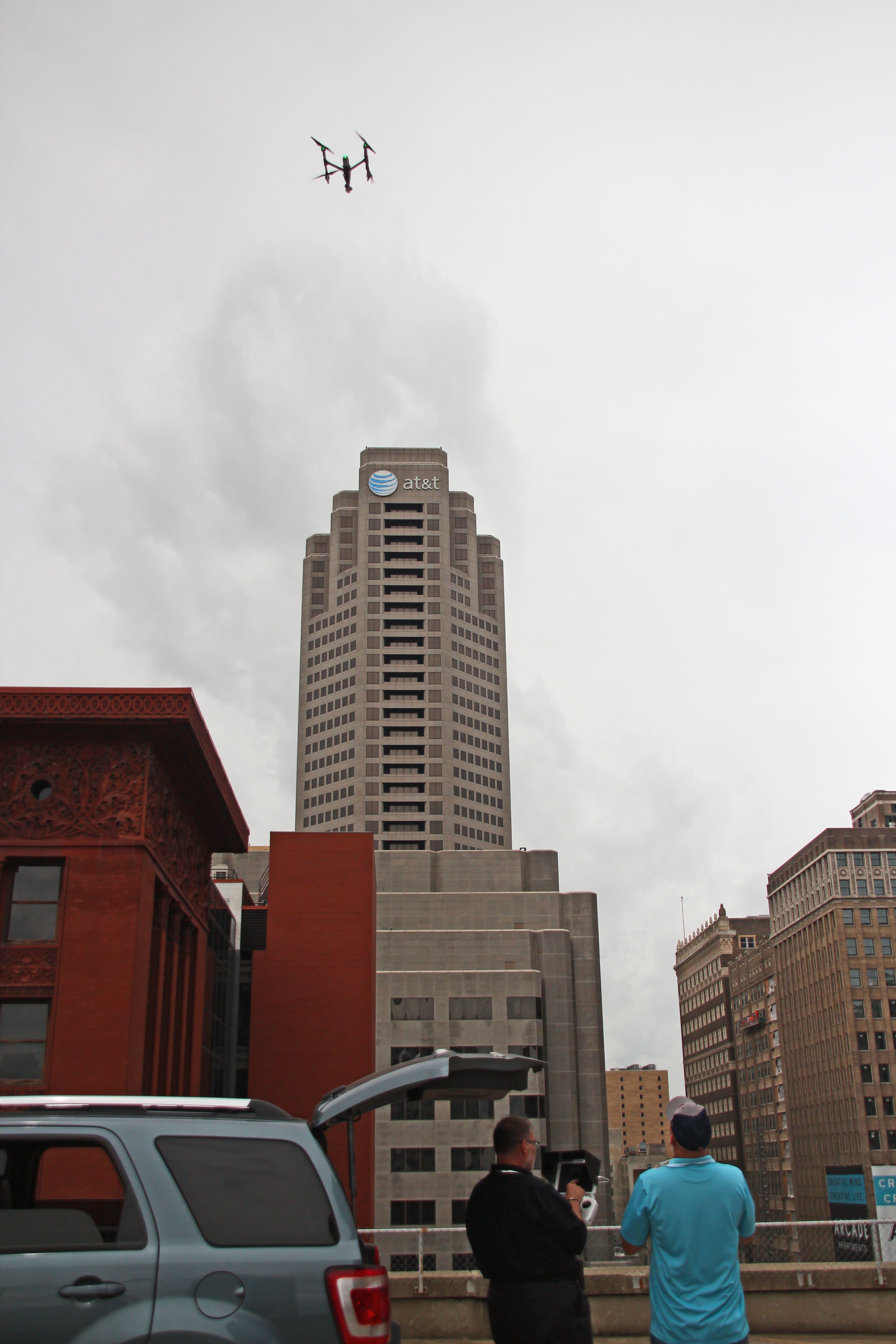
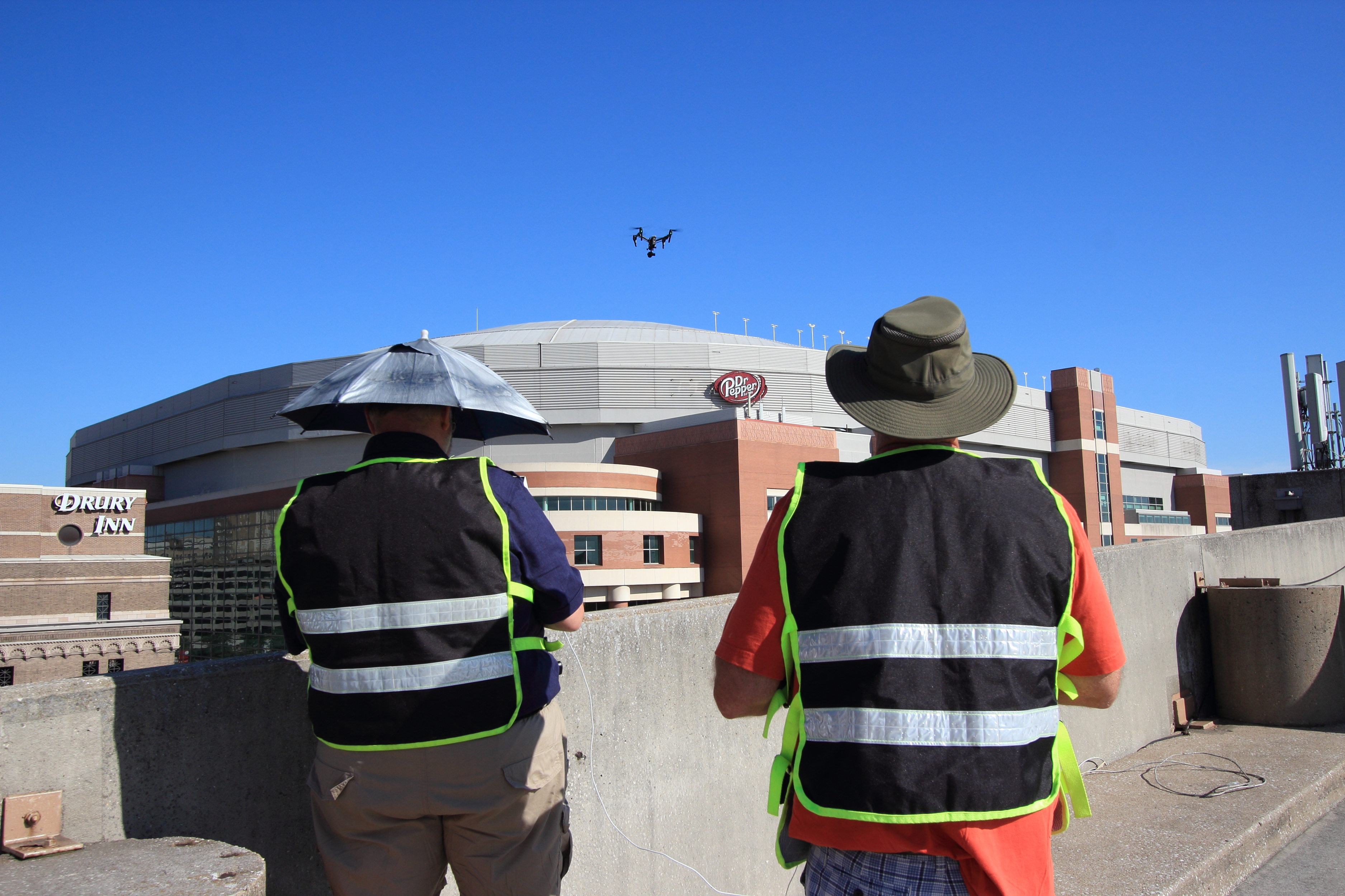
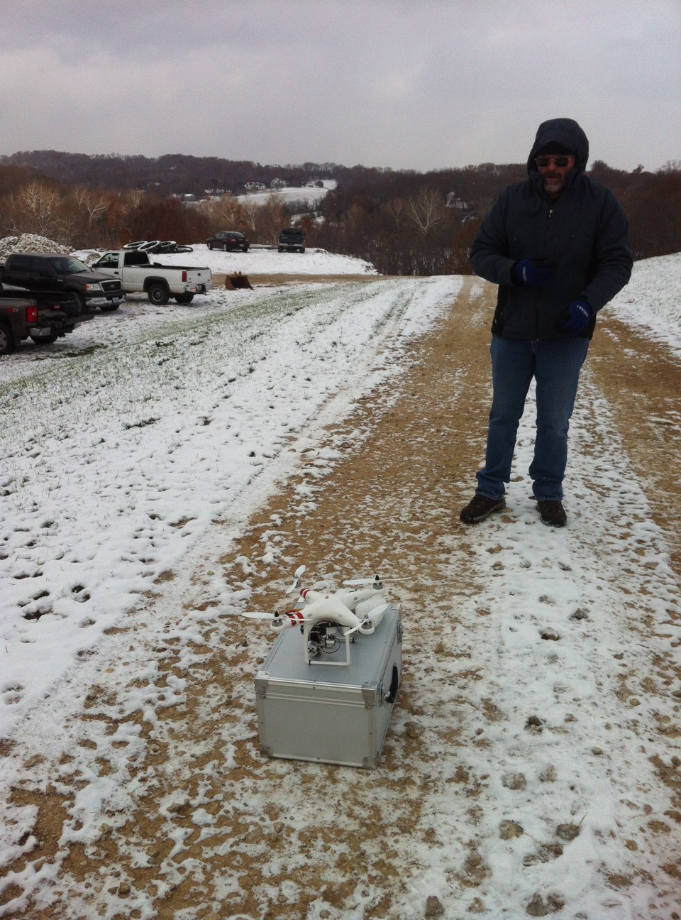
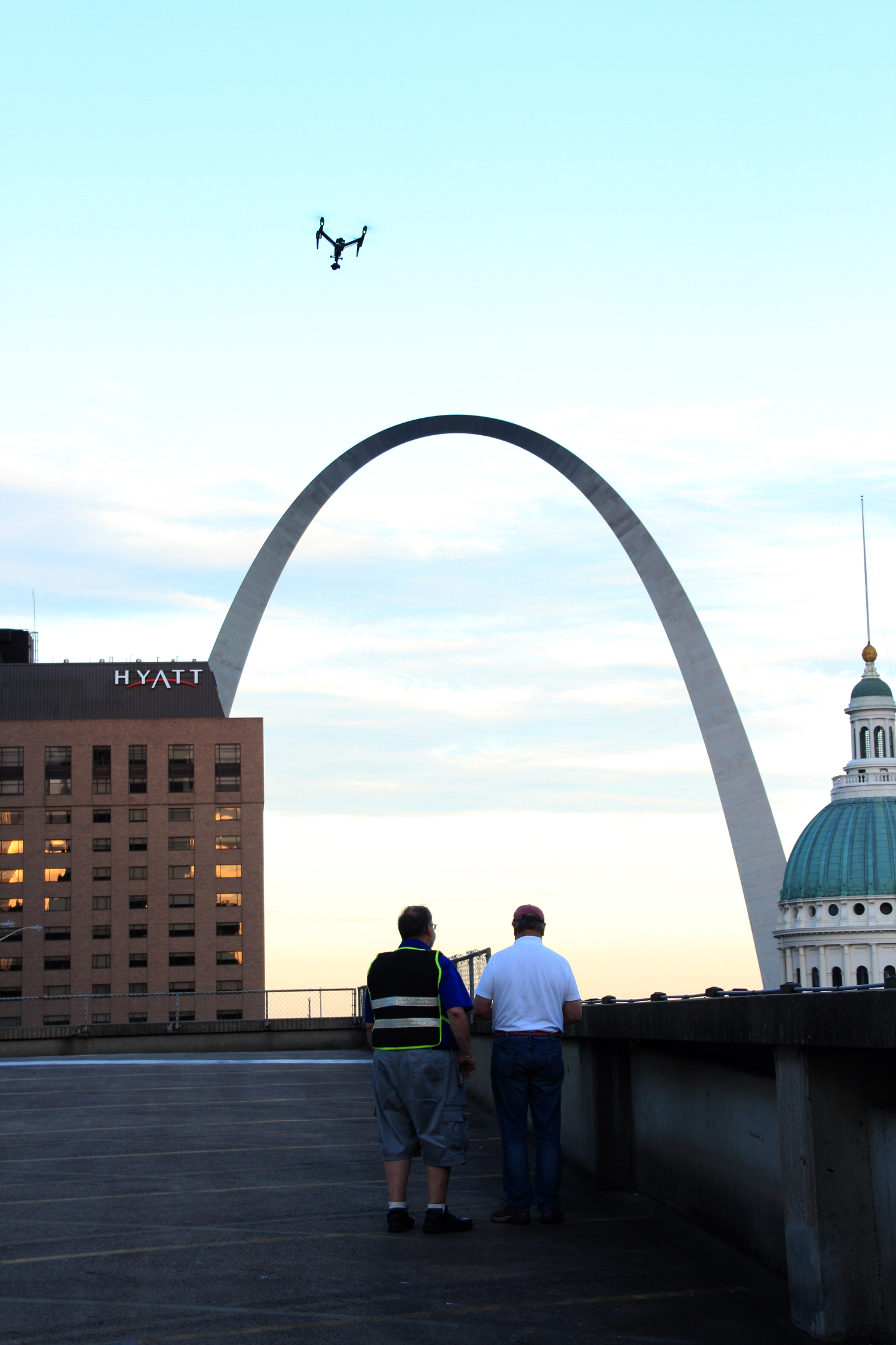
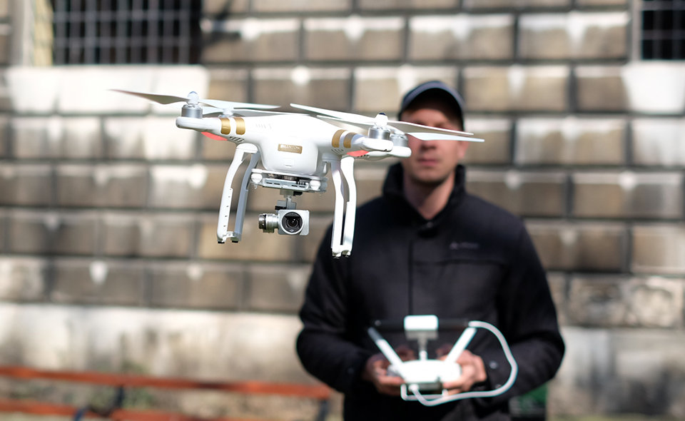
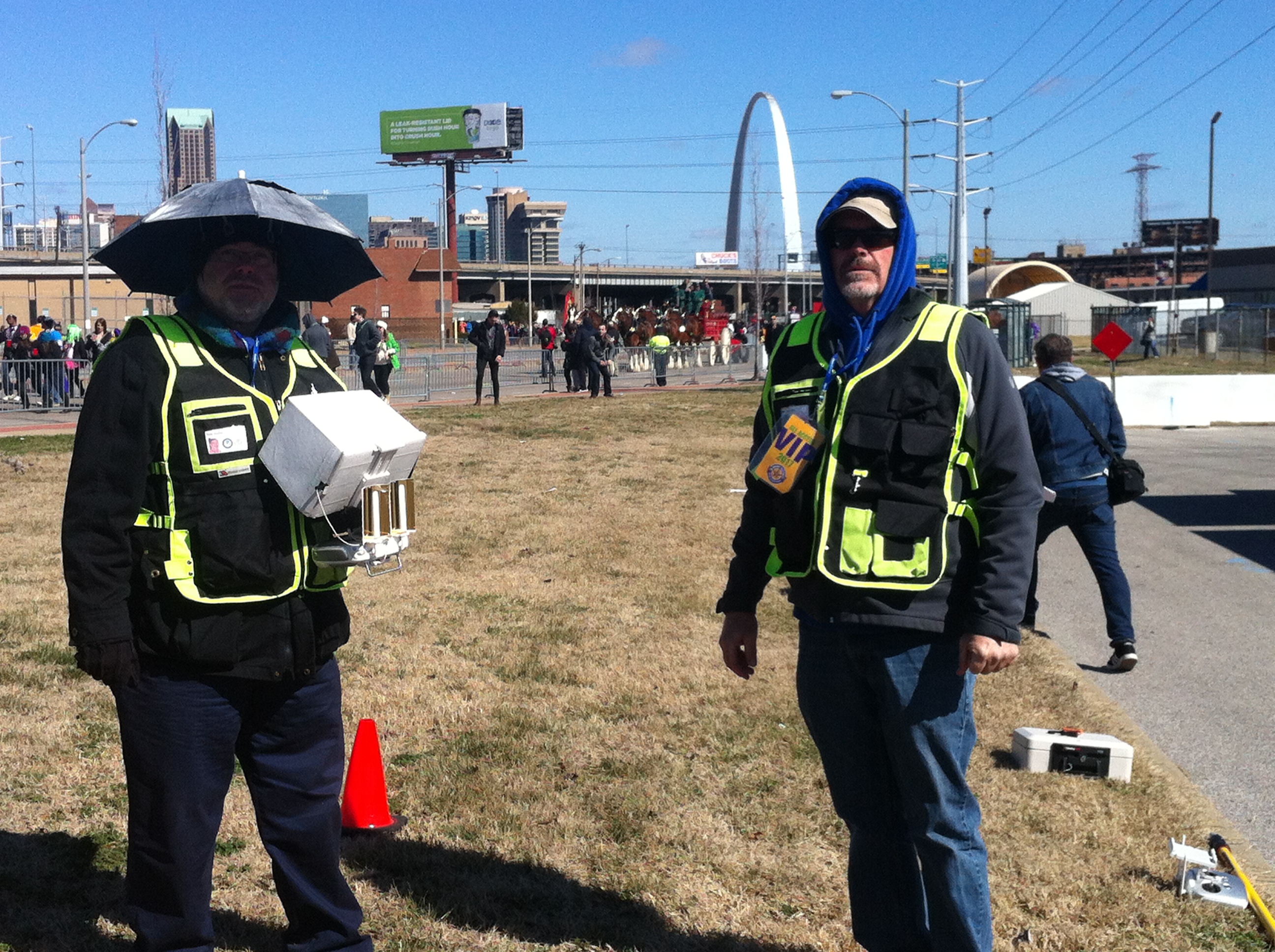
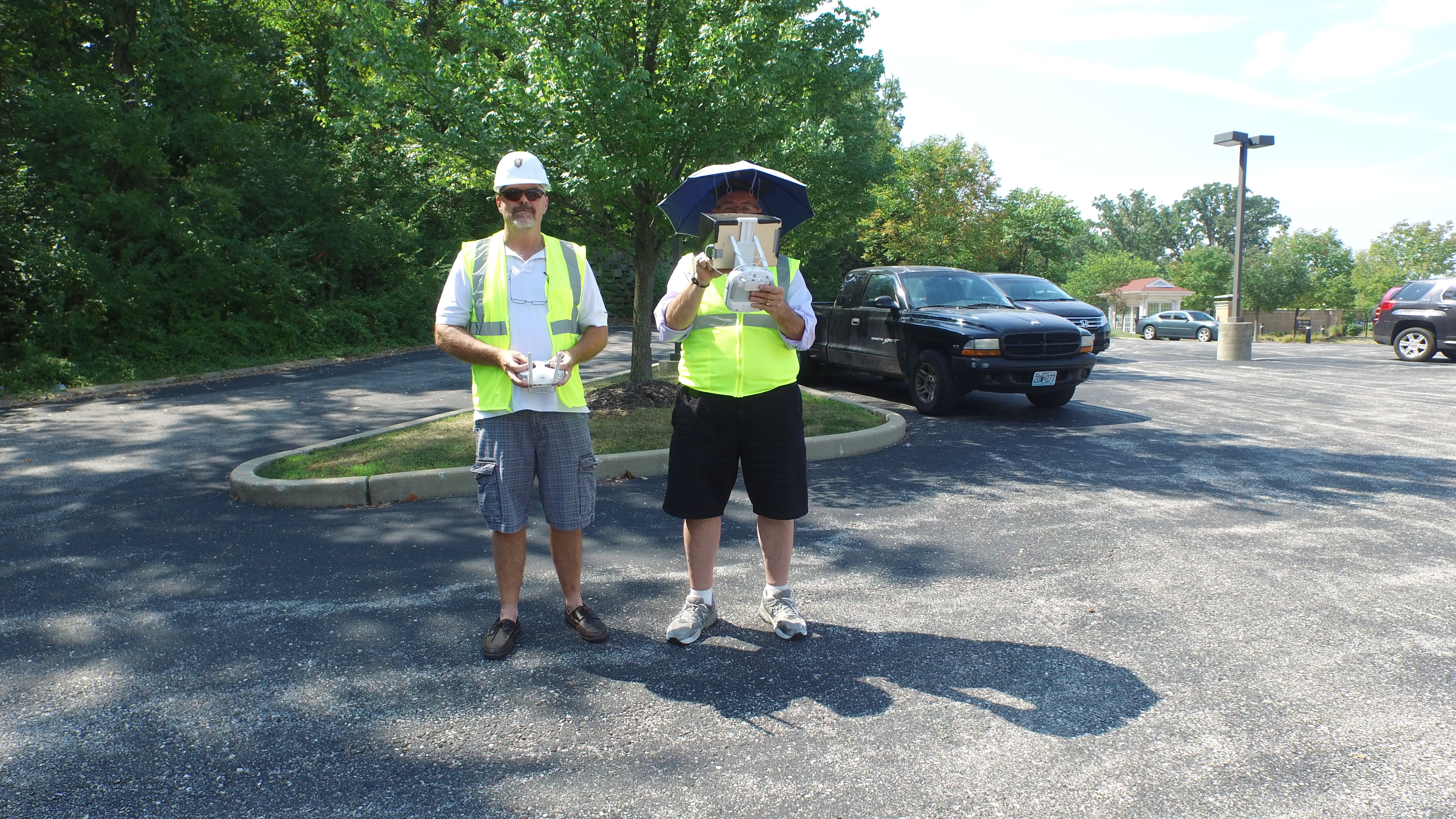
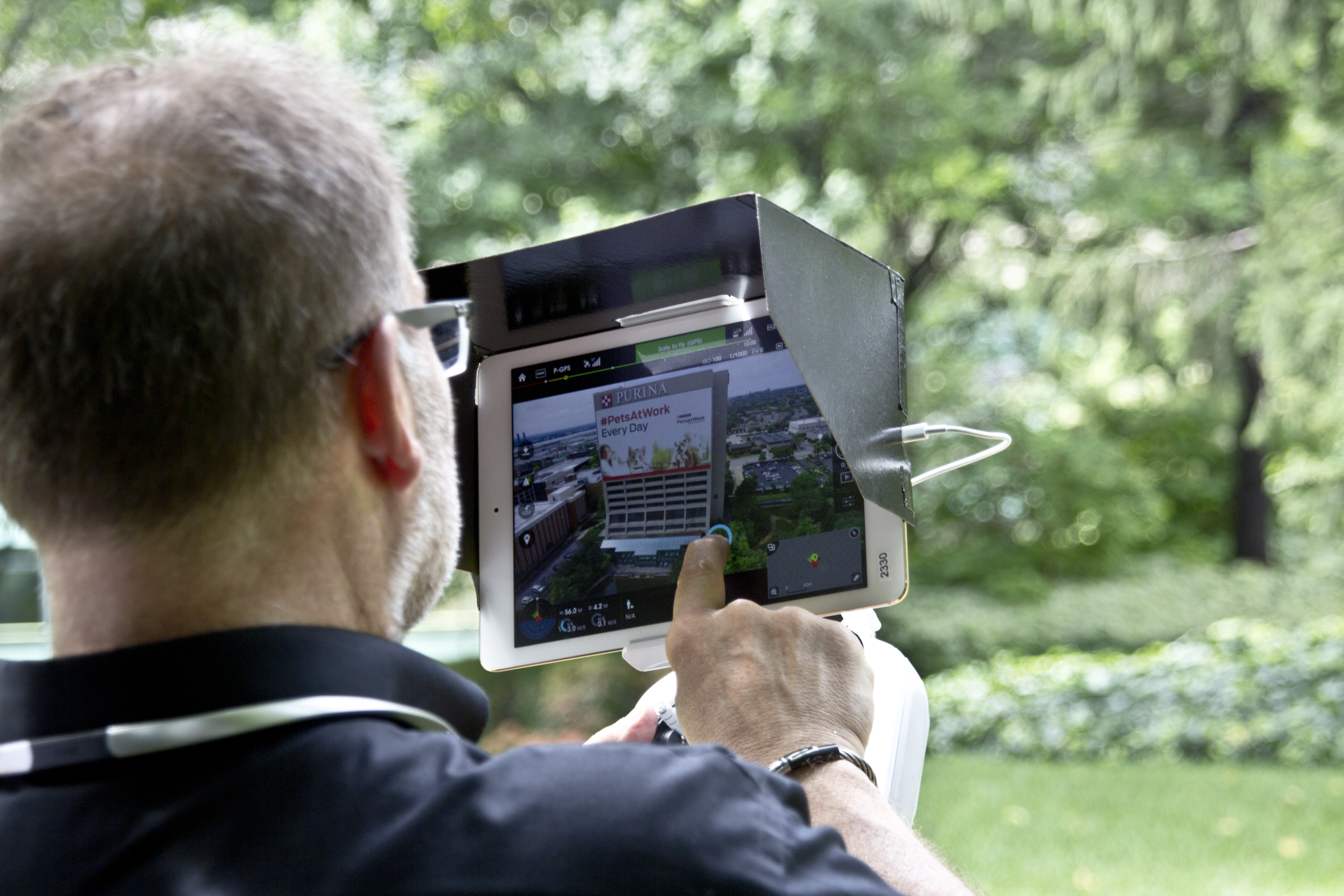
At St Louis Video, we fly drones for commercials and fly our specialized FPV drones indoors, helping clients capture dynamic footage that traditional cameras often cannot achieve. We also understand that many projects call for more advanced drone capabilities. For decision makers responsible for marketing, facilities, development, construction, real estate, engineering, property management, and operations, specialized drone services can deliver far more than a dramatic aerial perspective.
Drone Technology Has Become a Practical Business Tool
Aerial video is excellent for showing a building, campus, development, or industrial site from a fresh and compelling angle. It can make a commercial more engaging and give prospective clients, investors, or stakeholders a better sense of place. That is a major reason drone footage has become a standard part of many modern productions.
But many organizations now expect drone services to do more than support marketing.
A facilities manager may need to identify possible roof issues. A contractor may need accurate overhead site documentation. A landowner may need better terrain understanding. A commercial property team may want visuals that support both presentations and operational review. In these situations, the right drone service is not just about capturing beautiful footage. It is about capturing useful information.
Infrared thermal, orthomosaics, and LiDAR each serve distinct purposes. When applied correctly, they help organizations move from general visual content to more targeted, measurable deliverables.
Infrared Thermal Drone Imaging
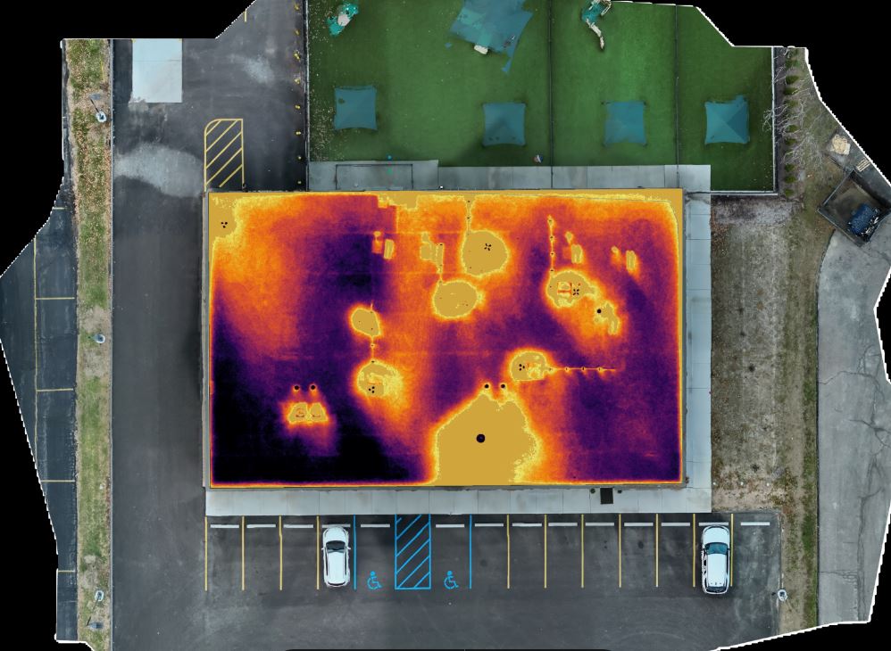
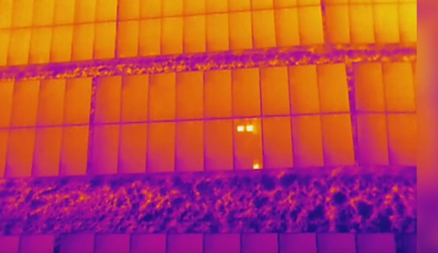
Infrared thermal drone imaging makes it possible to see temperature differences across surfaces and structures. Standard video and photography show what a site looks like. Thermal imaging shows how heat behaves across that site. This can reveal anomalies, patterns, and areas of concern that are not obvious through ordinary visual inspection.
For businesses and organizations, thermal drone work can be useful in several ways.
Commercial Roof Review
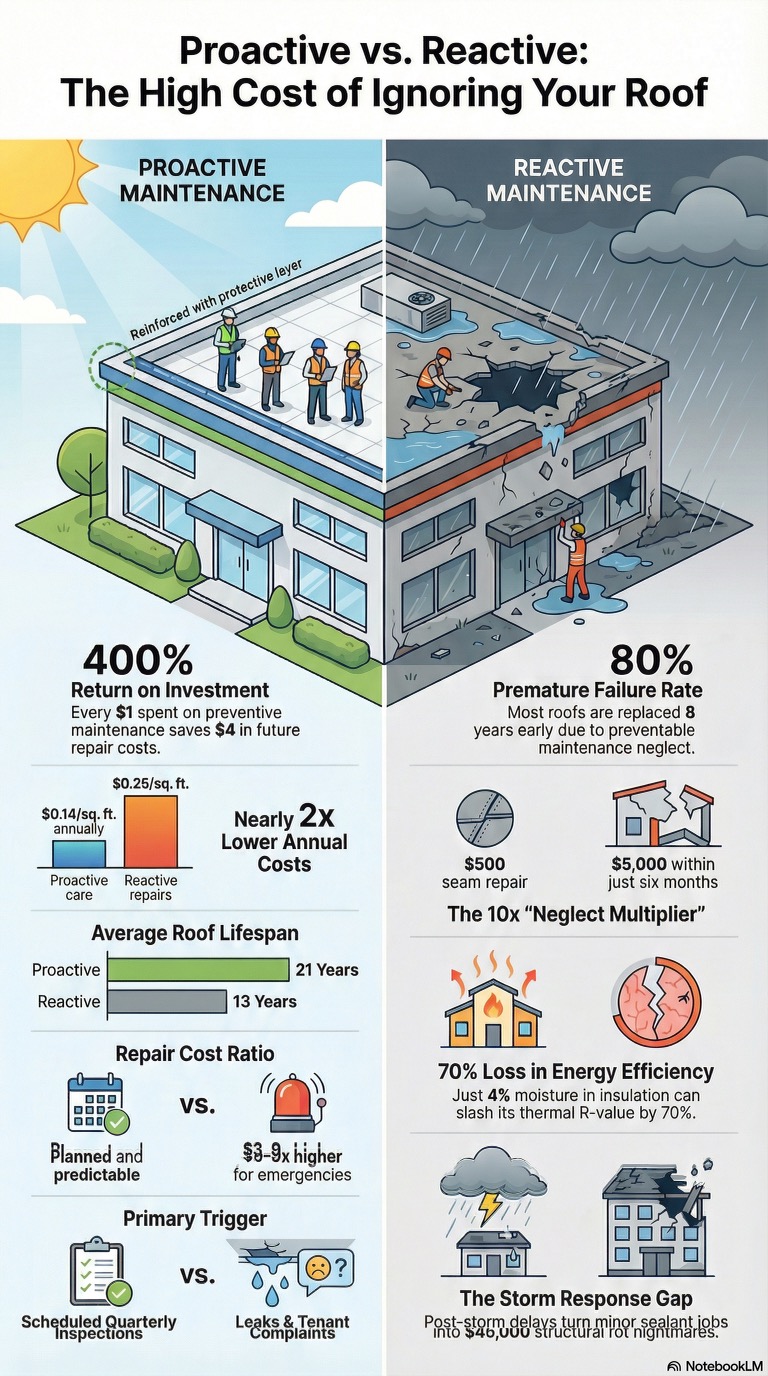
Roof systems often develop hidden issues that cannot be easily identified from ground level or even from a close visual inspection. Thermal imaging can sometimes reveal temperature patterns associated with trapped moisture, insulation concerns, or other irregularities. For building owners and property managers, this can provide a valuable first layer of insight before taking the next inspection steps.
Building Envelope Observation
Thermal drone imaging can help identify areas where heat loss or temperature irregularities may be occurring around a structure. This can be useful for organizations that want a better understanding of building performance, especially across larger properties where manual inspection is more time-consuming.
Exterior Equipment and Industrial Applications
In some environments, thermal capture can help identify unusual heating behavior in exterior systems or components. Industrial facilities, utilities, institutions, and operational sites may benefit from this kind of review when preventative maintenance and condition awareness are priorities.
Stronger Reporting and Communication
Thermal imagery is also highly effective as a communication tool. It can help explain a condition clearly to a client, team member, stakeholder, or decision maker. In industries where technical findings need to be presented visually, thermal drone imagery can make reports, presentations, proposals, and marketing materials more informative and more persuasive.
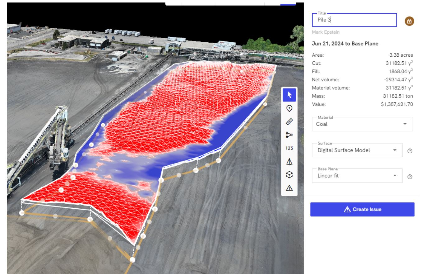
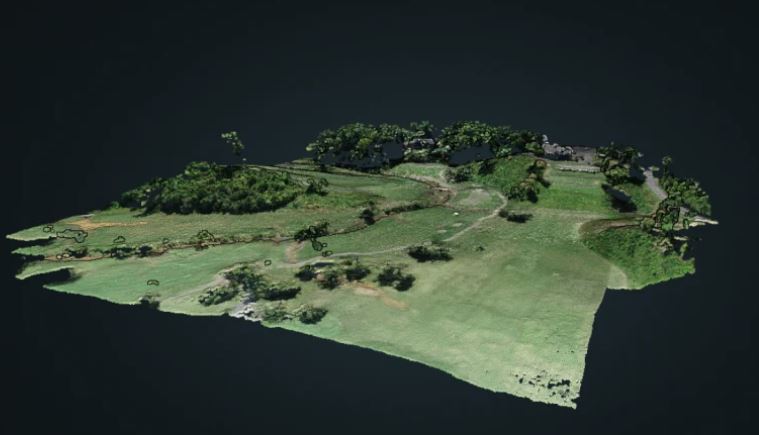
Orthomosaics for Accurate Overhead Documentation
An orthomosaic is not simply a drone photograph taken from above. It is a detailed top-down image created by stitching together many overlapping aerial photographs and correcting them for distortion. The result is a precise, map-like image that provides a much more reliable representation of a site than a standard aerial photo alone.
This kind of deliverable is especially valuable when organizations need a clear and comprehensive overhead view for planning, documentation, and communication.

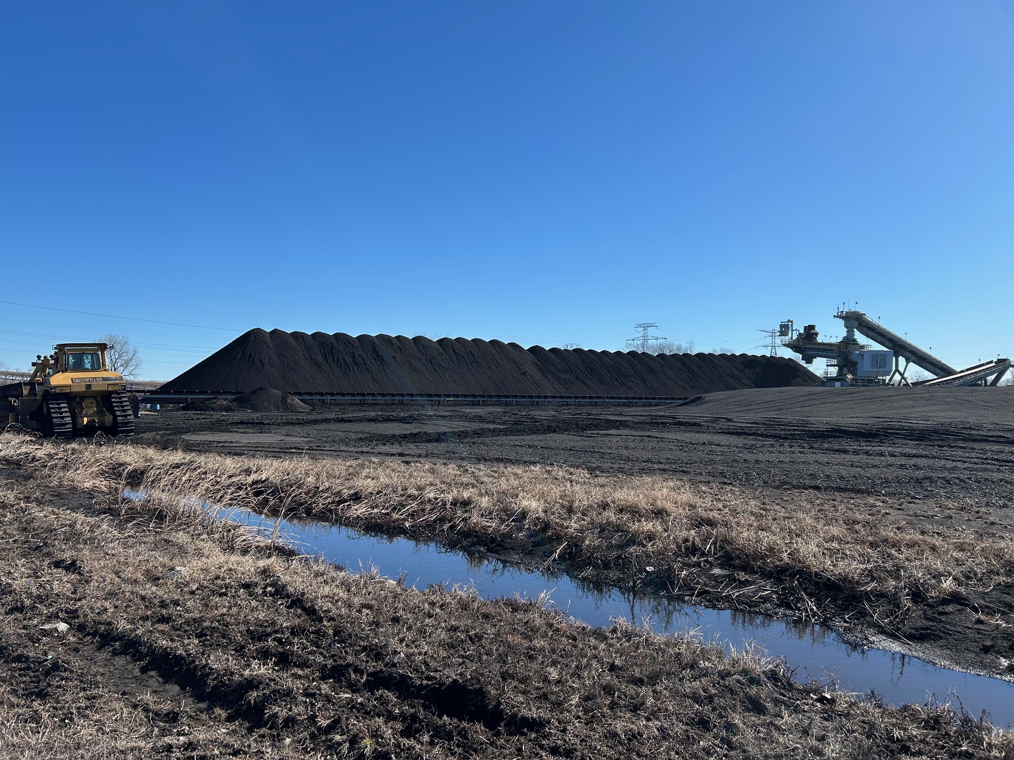
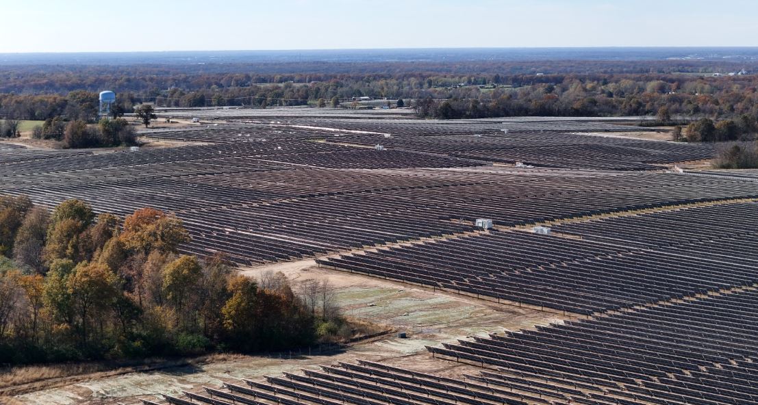
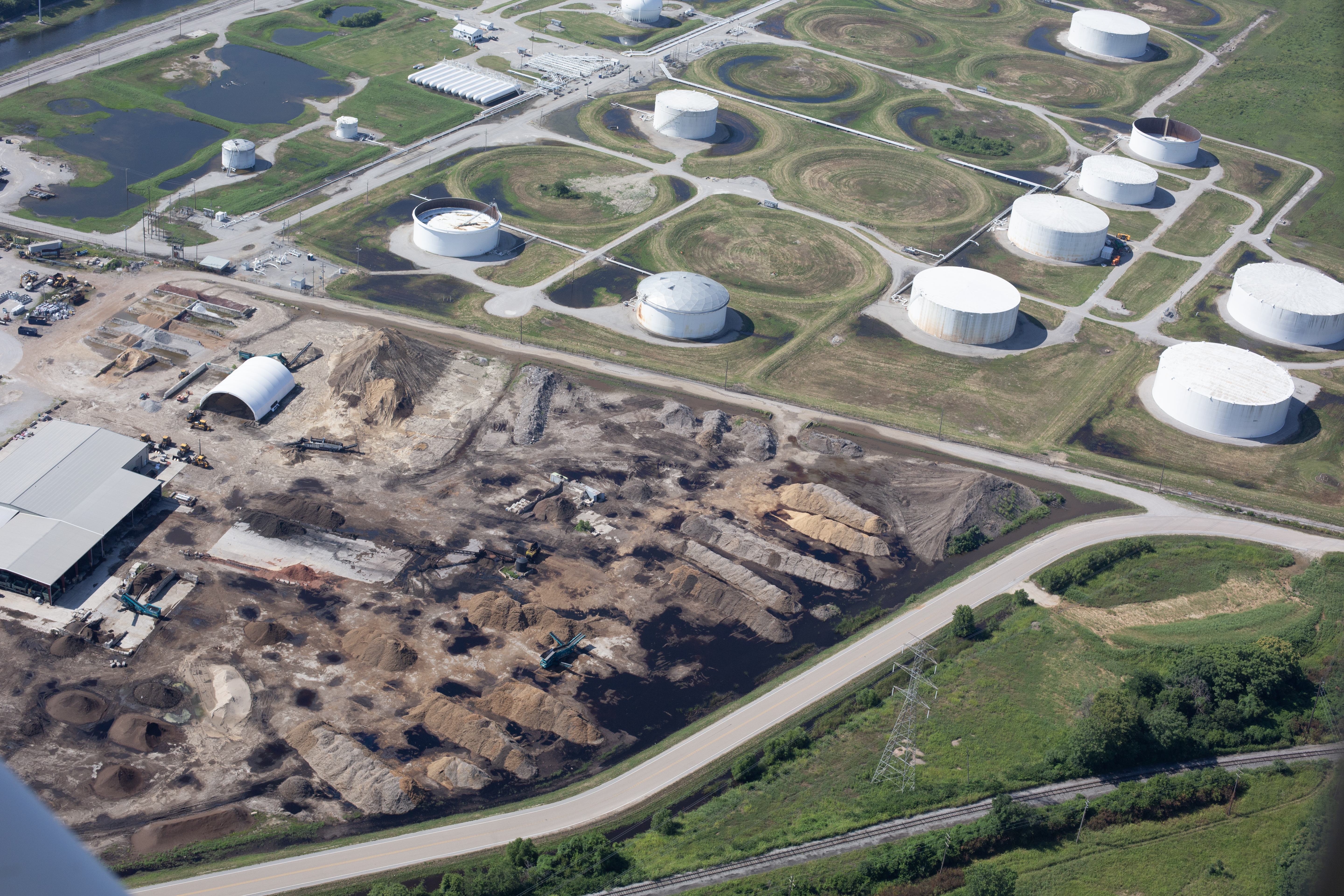
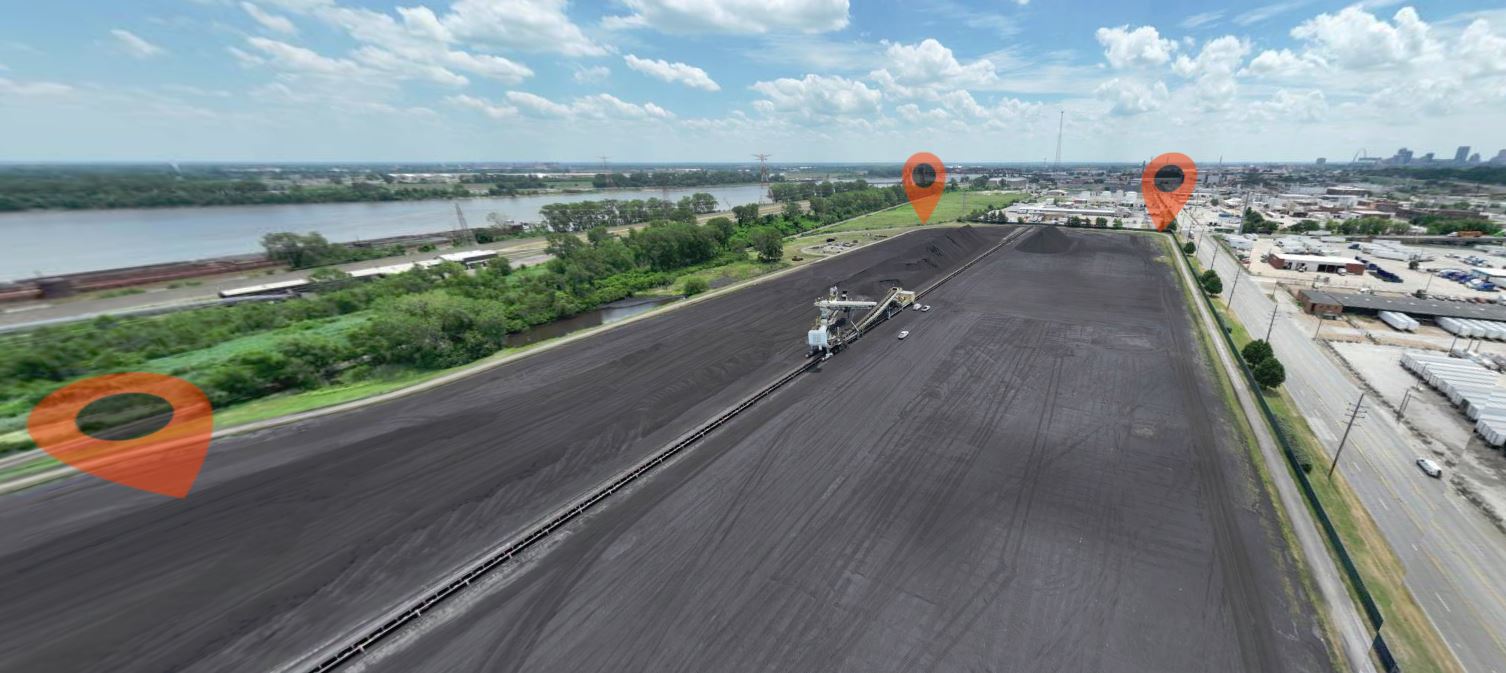
Site Mapping and Documentation
Orthomosaics are useful for construction projects, commercial developments, campuses, industrial facilities, schools, municipalities, and large real estate properties. They provide a clean visual record of a site that can be referenced by teams, consultants, and leadership.
Planning and Layout Evaluation
Because orthomosaics are corrected for perspective and scale, they can support practical site review. Teams can use them to assess access points, storage areas, traffic flow, staging zones, layout relationships, and the overall organization of a property or active project.
Ongoing Progress Monitoring
One of the strongest advantages of orthomosaic capture is consistency over time. Repeated flights can document site changes, project progress, and development milestones. This makes orthomosaics especially useful for construction, infrastructure work, land development, and long-term property improvement efforts.

Better Presentations for Stakeholders
Orthomosaics can also be excellent communication assets. When boards, clients, investors, or project partners need to understand the full layout of a site, a clean top-down composite image often communicates more effectively than a series of isolated aerial photos.
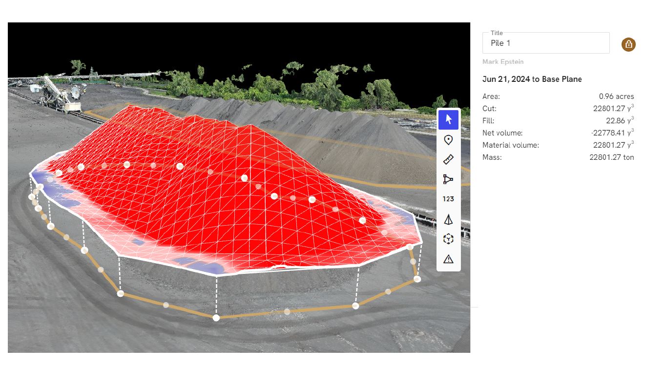
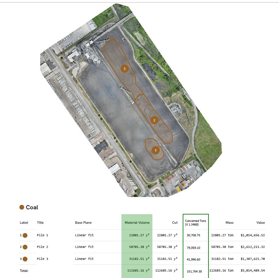
LiDAR for High-Value Mapping and Analysis
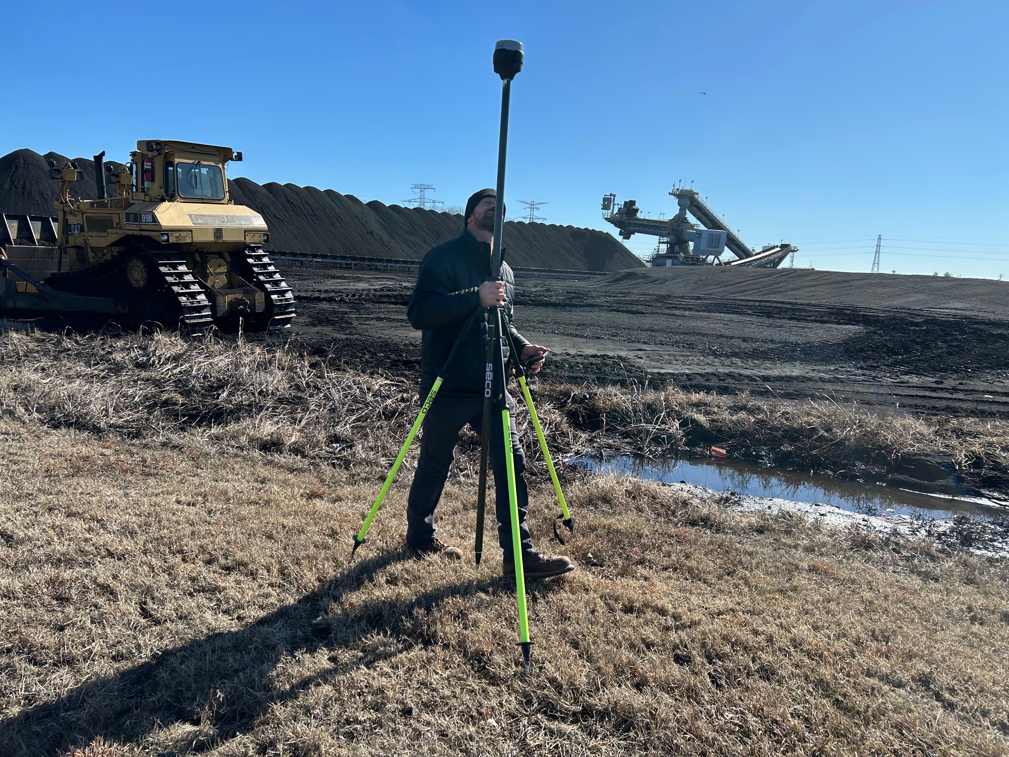
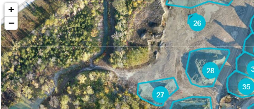
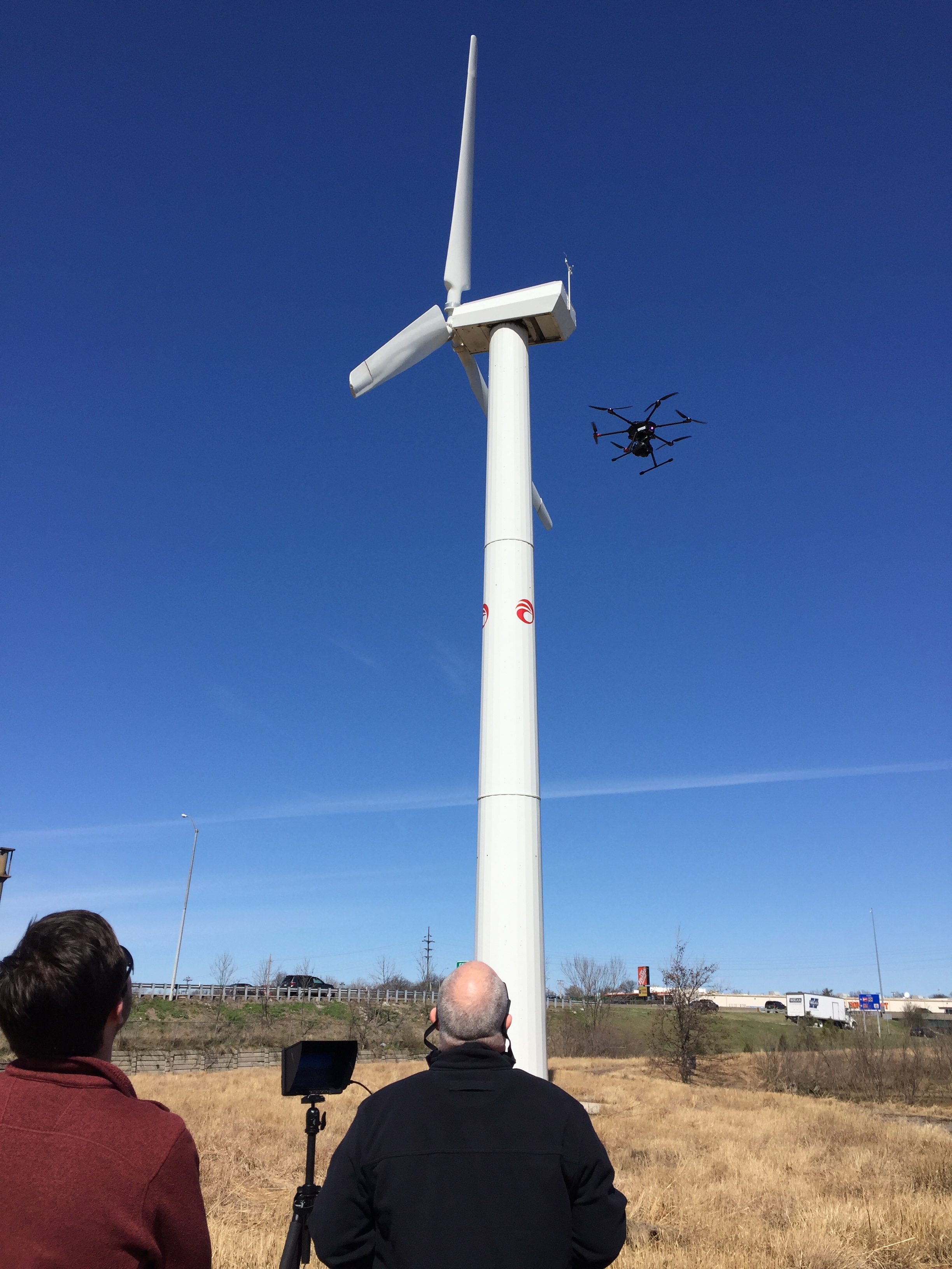
LiDAR is one of the most advanced specialized drone services available today. Using laser-based measurements, LiDAR can collect spatial data and generate detailed information about terrain, surfaces, vegetation, and site conditions. For organizations that need greater precision, LiDAR can provide a level of insight that standard imagery alone may not offer.
Terrain and Topographic Understanding
LiDAR is especially helpful when a project depends on accurate elevation and terrain data. Engineers, developers, land planners, and consultants can use LiDAR-supported outputs to better understand contours, slopes, grade changes, and drainage-related features.
Better Ground Insight in Vegetated Areas
One reason LiDAR is so valuable is its ability to generate useful ground data in areas where vegetation limits traditional image-based mapping methods. For wooded properties, overgrown parcels, corridor projects, and complex outdoor environments, this can be a major advantage.
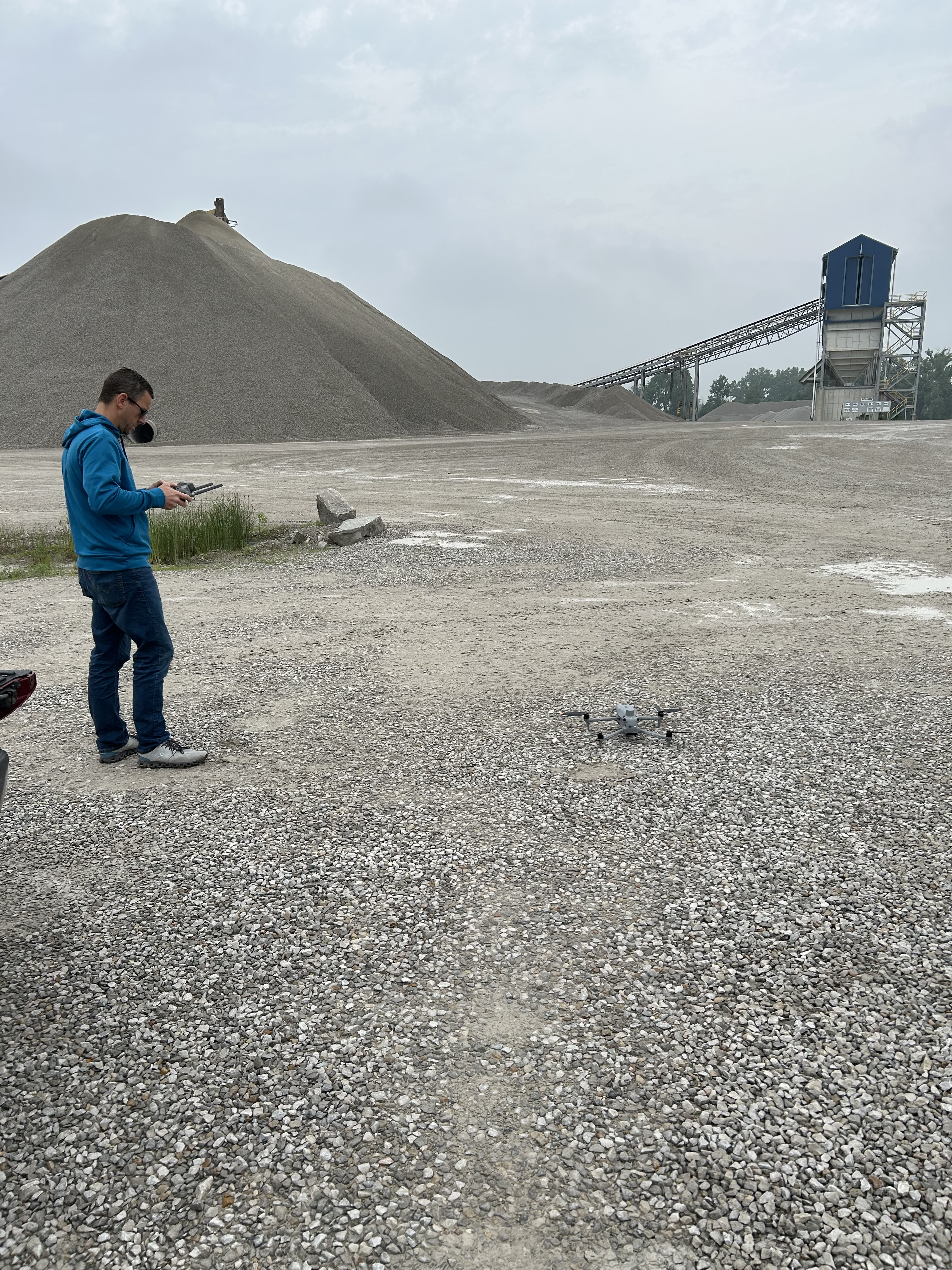
Measurement and Volume Applications
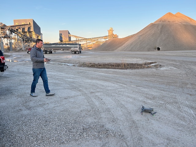
LiDAR can also support work involving stockpiles, grading, earthmoving, and surface analysis. In construction, aggregates, industrial operations, and land management, this can make drone services relevant not only for documentation but for more accurate operational understanding.
Detailed Models and Better Planning
For more technical projects, LiDAR can contribute to the creation of advanced site models and other spatial deliverables that assist with planning and decision-making. When organizations need more than a visual overview, LiDAR becomes an important option.
Choosing the Right Specialized Drone Service
Not every project requires every advanced drone service. The right fit depends on what the organization actually needs to accomplish.
If the goal is identifying suspicious temperature variation, thermal imaging may be the strongest option.
If the goal is creating an accurate top-down visual document of a site, an orthomosaic may be the ideal deliverable.
If the goal is terrain accuracy, elevation insight, or deeper spatial understanding, LiDAR may be the best approach.
In many cases, the most valuable workflow combines multiple services. A company may need commercial drone footage for a marketing campaign, indoor FPV footage to create a more immersive experience, and orthomosaic or LiDAR deliverables for internal planning. Another client may benefit from thermal capture for inspection support along with traditional aerial visuals for presentations and public-facing communications.
The most successful drone projects begin by matching the service to the actual business objective.
Specialized Drone Work Still Supports Marketing
Even when the service is technical, the final benefit often supports communication. Marketing teams want assets that elevate their brand. Facilities and operations teams want visuals that clarify conditions. Executives want information they can review efficiently. Clients, investors, and stakeholders want to understand a property or project quickly.
That is why specialized drone work is so valuable. It can serve multiple purposes at once. It can document, explain, support planning, and enhance marketing at the same time.
A good drone partner understands that the value is not just in flying the aircraft. It is in knowing how the material will be used, what stakeholders need from it, and how to deliver assets that are both technically useful and visually effective.
Indoor FPV Drone Work for Commercials and Branded Content
At St Louis Video, we also fly drones for commercials and fly our specialized FPV drones indoors. This opens creative possibilities that conventional cameras often cannot match.
Indoor FPV drone footage can move through offices, warehouses, production facilities, retail interiors, hospitality spaces, showrooms, studios, and event venues with fluid, immersive motion. It allows viewers to experience a space in a way that feels dynamic and memorable. For branded content and commercials, this can make a production stand out immediately.
When combined with specialized services such as thermal imaging, orthomosaics, and LiDAR, organizations gain both creative and practical value. They can market their business more effectively while also using drone technology for inspections, planning, documentation, and analysis.
Experience Matters in Advanced Drone Projects
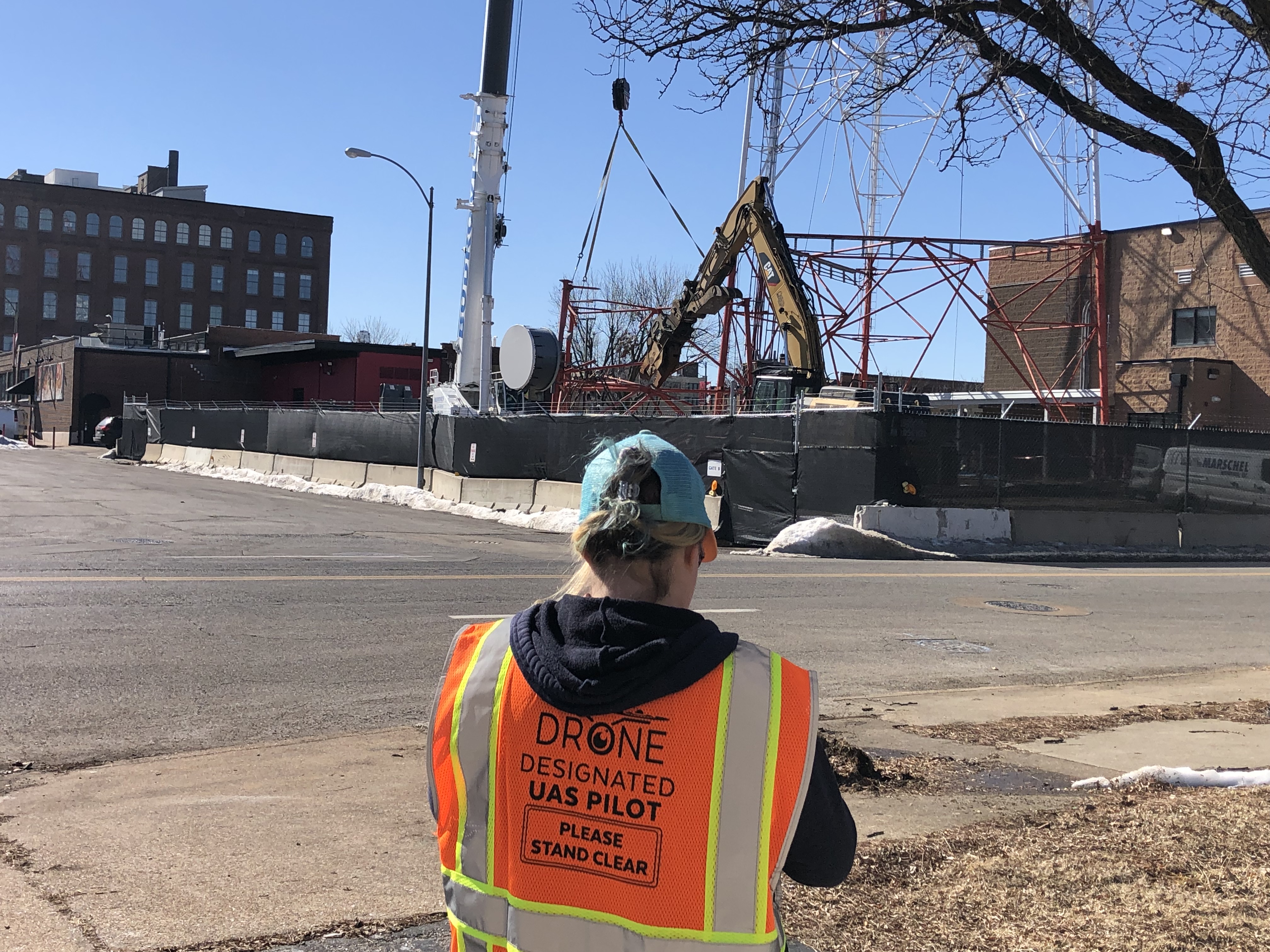
Specialized drone services require more than basic flight capability. They require planning, technical understanding, awareness of environmental conditions, safe operations, and a clear understanding of how the final materials will be used by the client.
This is especially important when a project involves commercial sites, indoor flights, active workplaces, technical inspections, or mapping-related deliverables. File organization, capture planning, flight execution, and post-production all affect whether the project actually produces value.
Decision makers should work with a team that understands both creative production and specialized drone applications. That combination helps ensure the final deliverables are not only impressive, but genuinely useful.
Work With St Louis Video for Specialized Drone Services
St Louis Video is an experienced full-service professional commercial photography and video production company with the right equipment and creative crew service experience for successful image acquisition. We offer full-service studio and location video and photography, as well as editing, post-production, and licensed drone services. We fly drones for commercials and fly our specialized FPV drones indoors, helping businesses and organizations create compelling visual content with perspectives that traditional production methods often cannot provide.
Other drone special services include infrared thermal, orthomosaics, and LiDAR, giving our clients access to advanced drone capabilities that support inspections, planning, mapping, documentation, and more informed decision-making. St Louis Video can customize your productions for diverse types of media requirements. Repurposing your photography and video branding to gain more traction is another specialty. We are well-versed in all file types and styles of media and accompanying software. We use the latest in Artificial Intelligence for all our media services.
Our private studio lighting and visual setup is perfect for small productions and interview scenes. Our studio is large enough to incorporate props to round out your set. We support every aspect of your production, from setting up a private, custom interview studio to supplying professional sound and camera operators, as well as providing the right equipment, ensuring your next video production is seamless and successful.
